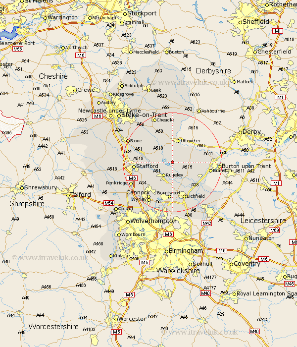
Staffordshire Map Showing Location of Abbots Bromley
Population: 1487
Area Size (ha): 47
District: East Staffordshire
Easting: 407861 Northing: 324390
Latitude: 52.82 Longitude: -1.88
 = Abbots Bromley
Area Size (ha): 47
District: East Staffordshire
Easting: 407861 Northing: 324390
Latitude: 52.82 Longitude: -1.88
= Abbots Bromley
This Abbots Bromley map below is supplied by Google. Use the tools in the top left corner to zoom into street level or zoom out for a road map, you may also need to zoom in to see Abbots Bromley on the map. Click and drag the map to move around. If the map fails to load try and refresh your browser or zoom in or out (+ or -).
Update - it seems Google no longer allow people to use their maps for free! This Abbots Bromley map sometimes loads and sometimes gives a error. I am working on a solution.
Closest 30 Towns or Cities to Abbots Bromley (Population over 500)
Colton 5.99km Rugeley 6.49km Colwich 7.68km Marchington 7.89km Weston upon Trent 9.15km Weston 9.15km Armitage 9.27km Uttoxeter 9.53km Yoxall 10.01km Hanbury 10.25km Longdon 11.12km Leigh 12.45km Church Leigh 12.45km Tatenhill 12.87km Anslow 13.44km Bednall 13.52km Hatton 13.59km Checkley 13.72km Tutbury 13.94km Hopton 14.67km Stafford 14.68km Burntwood 14.87km Alrewas 15.01km Branston 15.03km Hednesford 15.16km Rocester 15.2km Lichfield 15.49km Rolleston 15.79km Norton Canes 15.85km Huntington 16.44km