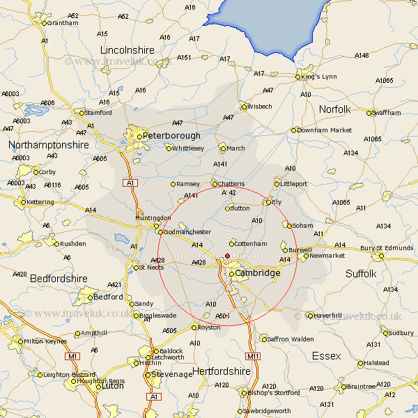
Cambridgeshire Map Showing Location of Histon
Population: 7075
Area Size (ha): 218
District: South Cambridgeshire
Easting: 543339 Northing: 263435
Latitude: 52.25 Longitude: 0.1
 = Histon
Area Size (ha): 218
District: South Cambridgeshire
Easting: 543339 Northing: 263435
Latitude: 52.25 Longitude: 0.1
= Histon
This Histon map below is supplied by Google. Use the tools in the top left corner to zoom into street level or zoom out for a road map, you may also need to zoom in to see Histon on the map. Click and drag the map to move around. If the map fails to load try and refresh your browser or zoom in or out (+ or -).
Update - it seems Google no longer allow people to use their maps for free! This Histon map sometimes loads and sometimes gives a error. I am working on a solution.
Closest 30 Towns or Cities to Histon (Population over 500)
Girton 2.18km Oakington 2.93km Cottenham 3.88km Milton 3.88km Dry Drayton 4.9km Long Stanton 5.03km Waterbeach 5.67km Cambridge 5.67km Coton 6.01km Willingham 7.75km Hardwick 7.95km Hardwicke 7.95km Teversham 7.95km Comberton 8.7km Swavesey 8.79km Over 9.33km Needingworth 10.86km Toft 10.87km Fulbourn 10.87km Fulbourne 10.87km Hauxton 11.12km Elsworth 11.35km Haddenham 11.63km Bottisham 11.94km Wilburton 12.01km Needham Market 12.01km Bluntisham 12.48km Earith 12.48km Swaffham Bulbeck 12.62km Bourn 12.63km