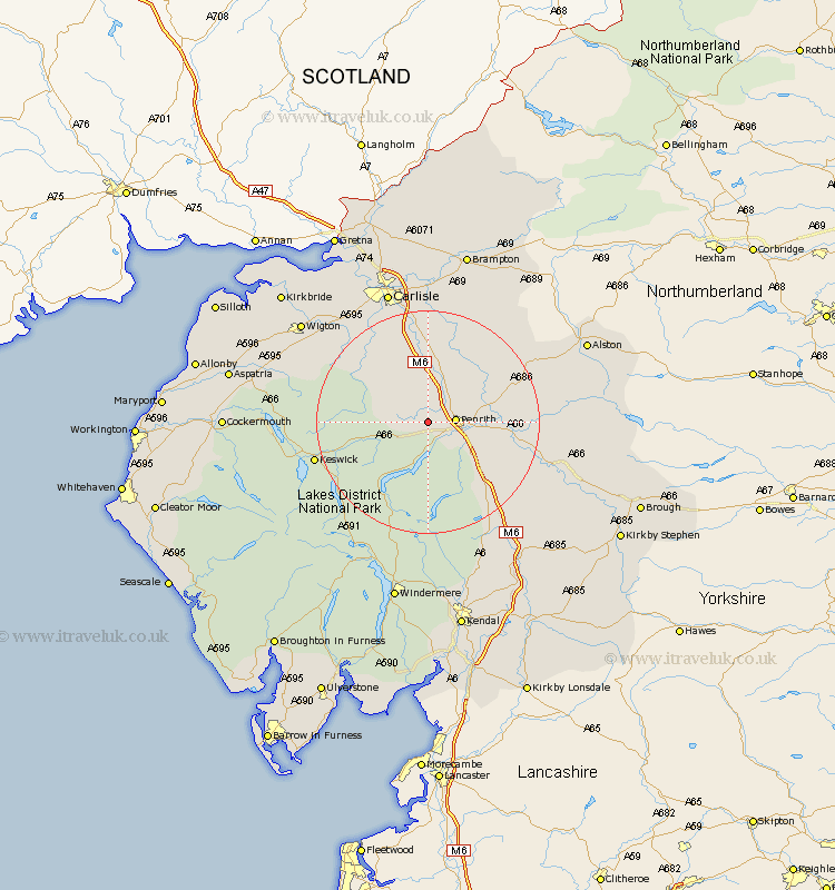
Cumbria Map Showing Location of Great Blencow
District: Eden
Easting: 346257 Northing: 530511
Latitude: 54.67 Longitude: -2.83
 = Great Blencow
Easting: 346257 Northing: 530511
Latitude: 54.67 Longitude: -2.83
= Great Blencow
This Great Blencow map below is supplied by Google. Use the tools in the top left corner to zoom into street level or zoom out for a road map, you may also need to zoom in to see Great Blencow on the map. Click and drag the map to move around. If the map fails to load try and refresh your browser or zoom in or out (+ or -).
Update - it seems Google no longer allow people to use their maps for free! This Great Blencow map sometimes loads and sometimes gives a error. I am working on a solution.
Closest 30 Towns or Cities to Great Blencow (Population over 500)
Greystoke 2.84km Skelton 4.28km Dacre 5.56km Langwathby 10.87km Lasonby 11.32km Lazonby 11.32km Hesket Newmarket 13.91km Kirkoswald 14.04km Culgaith 15.12km Caldbeck 15.77km Ainstable 16.15km Kirkby Thore 19.06km Koswick 19.69km Keswick 19.69km Shap 19.84km Dalston 20.88km Long Marton 21.69km Long Marston 21.69km Wetheral 22.27km Thursby 23.16km Crosby Ravensworth 23.19km Westward 23.22km Carlisle 24.92km Appleby 25.13km Hayton 26.49km Stanwix 26.72km Wigton 27.5km Orton 28.11km Ambleside 29.1km Farlam 29.42km