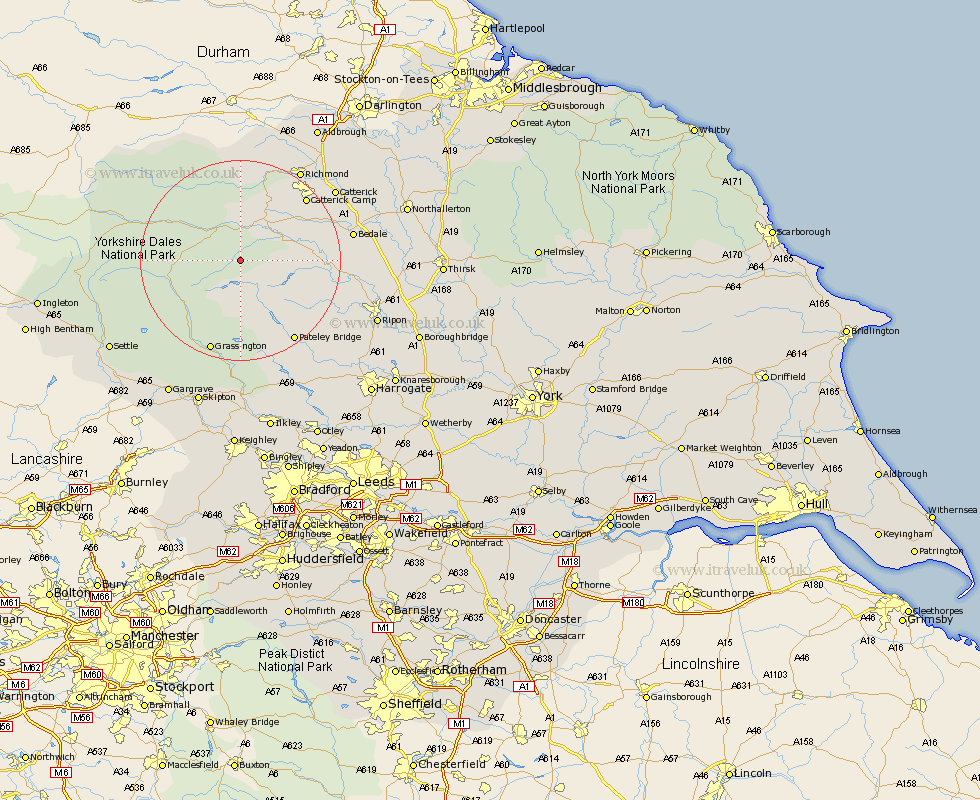
Yorkshire Map Showing Location of Gammersgill
District: Richmondshire
Easting: 406517 Northing: 481977
Latitude: 54.23 Longitude: -1.9
 = Gammersgill
Easting: 406517 Northing: 481977
Latitude: 54.23 Longitude: -1.9
= Gammersgill
This Gammersgill map below is supplied by Google. Use the tools in the top left corner to zoom into street level or zoom out for a road map, you may also need to zoom in to see Gammersgill on the map. Click and drag the map to move around. If the map fails to load try and refresh your browser or zoom in or out (+ or -).
Update - it seems Google no longer allow people to use their maps for free! This Gammersgill map sometimes loads and sometimes gives a error. I am working on a solution.
Closest 30 Towns or Cities to Gammersgill (Population over 500)
Bradley 4.71km Middleham 7.76km Leyburn 9.18km Masham 16.36km Grewelthorpe 17.18km Kirkby Malzeard 17.87km Bewerley 18.8km Grassington 19.31km Crakehall 19.84km Hawes 20.85km Bedale 21.31km Richmond 21.46km Threshfield 21.75km West Tanfield 21.99km Tanfield 21.99km Catterick 22.79km Dacre 23.62km Gilling 25.22km Scorton 25.63km Darley 25.78km Ripon 28.12km Birstwith 28.9km Middleton Tyas 29.04km North Cowton 29.31km Embsay 30.14km Settle 30.22km Barton 30.59km Skipton 30.6km Gargrave 30.7km Monkton 30.93km