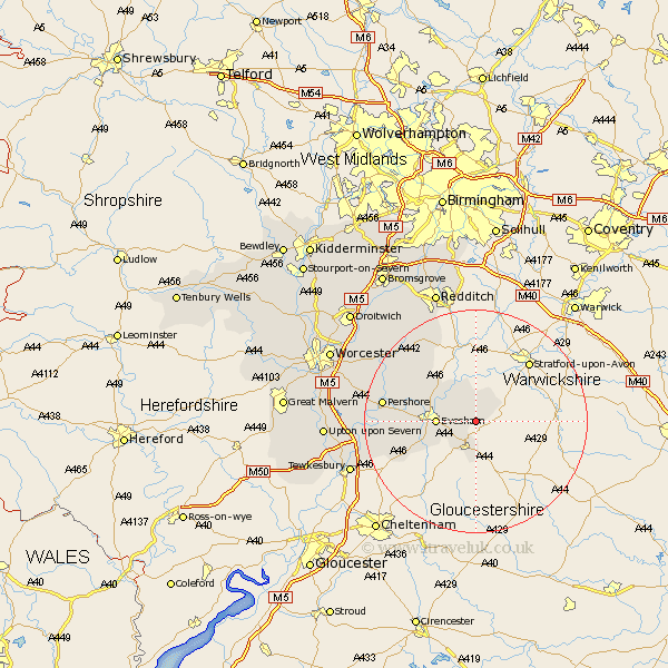
Worcestershire Map Showing Location of Cow Honeybourne
Population: 1619
District: Wychavon
Easting: 411419 Northing: 242834
Latitude: 52.08 Longitude: -1.83
 = Cow Honeybourne
District: Wychavon
Easting: 411419 Northing: 242834
Latitude: 52.08 Longitude: -1.83
= Cow Honeybourne
This Cow Honeybourne map below is supplied by Google. Use the tools in the top left corner to zoom into street level or zoom out for a road map, you may also need to zoom in to see Cow Honeybourne on the map. Click and drag the map to move around. If the map fails to load try and refresh your browser or zoom in or out (+ or -).
Update - it seems Google no longer allow people to use their maps for free! This Cow Honeybourne map sometimes loads and sometimes gives a error. I am working on a solution.
Closest 30 Towns or Cities to Cow Honeybourne (Population over 500)
Badsey 3.42km South Littleton 3.89km Littleton 3.89km Pebworth 4.35km Broadway 5.68km Offenham 5.99km Cleeve Prior 6km Evesham 6.83km Harvington 7.95km Charlton 10.41km Sedgeberrow 10.68km Church Lench 10.88km Cropthorne 11.39km Ashton-under-Hill 12.68km Ashton under Hill 12.68km Fladbury 13.06km Beckford 15.55km Bishampton 15.58km Inkberrow 15.85km Pershore 16.36km Defford 19.36km Eckington 19.45km Peopleton 19.66km Astwood Bank 19.75km Bredon 20.15km Feckenham 21.17km Wadborough 21.95km Crowle 23.28km Ripple 24.57km Radditch 25.04km