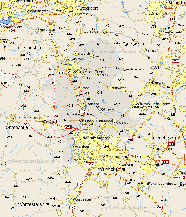
Staffordshire Map Showing Location of Forton
Population: 266
District: Stafford
Easting: 375272 Northing: 320735
Latitude: 52.78 Longitude: -2.37
 = Forton
District: Stafford
Easting: 375272 Northing: 320735
Latitude: 52.78 Longitude: -2.37
= Forton
This Forton map below is supplied by Google. Use the tools in the top left corner to zoom into street level or zoom out for a road map, you may also need to zoom in to see Forton on the map. Click and drag the map to move around. If the map fails to load try and refresh your browser or zoom in or out (+ or -).
Update - it seems Google no longer allow people to use their maps for free! This Forton map sometimes loads and sometimes gives a error. I am working on a solution.
Closest 30 Towns or Cities to Forton (Population over 500)
Adbaston 5.68km High Offley 6km Gnossall 7.85km Gnosall 7.85km Blymhill 9.29km Church Eaton 9.7km Eccleshall 10.79km Weston 10.83km Weston under Lizard 10.83km Weston-under-Lizard 10.83km Haughton 11.21km Wheaton Aston 12.52km Seighford 12.87km Standon 15.85km Brewood 17.46km Penkridge 17.72km Swinnerton 17.93km Swynnerton 17.93km Stafford 18.03km Hopton 18.77km Codsall 20.11km Bednall 20.26km Stone 20.35km Whitmore 21.15km Barlaston 22.89km Shareshill 23.07km Pattingham 23.24km Hilderstone 24.13km Weston 24.17km Weston upon Trent 24.17km