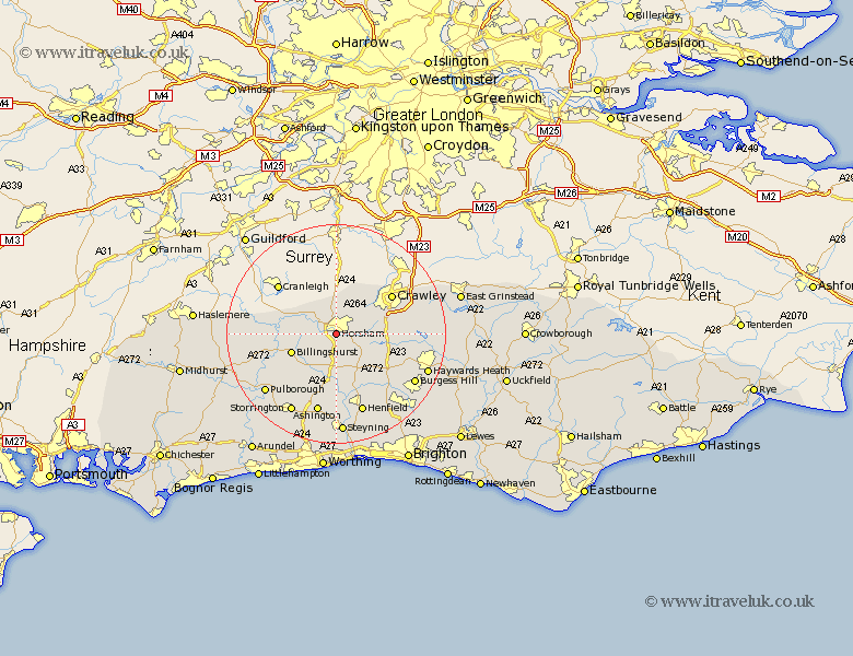
Sussex Map Showing Location of West Horsham
Population: 41289
Area Size (ha): 1065
District: Horsham
Easting: 516808 Northing: 129231
Latitude: 51.05 Longitude: -0.33
 = West Horsham
Area Size (ha): 1065
District: Horsham
Easting: 516808 Northing: 129231
Latitude: 51.05 Longitude: -0.33
= West Horsham
This West Horsham map below is supplied by Google. Use the tools in the top left corner to zoom into street level or zoom out for a road map, you may also need to zoom in to see West Horsham on the map. Click and drag the map to move around. If the map fails to load try and refresh your browser or zoom in or out (+ or -).
Update - it seems Google no longer allow people to use their maps for free! This West Horsham map sometimes loads and sometimes gives a error. I am working on a solution.
Closest 30 Towns or Cities to West Horsham (Population over 500)
Warnham 3.71km Southwater 3.88km Itchingfield 3.96km Slinfold 4.66km Nuthurst 6.03km Lower Beeding 6.9km Rusper 7.25km Cowfold 8.76km Rudgwick 8.93km Billingshurst 8.96km West Grinstead 9.26km Slaugham 9.51km Shipley 9.55km Bolney 11.92km Botney 11.92km Wisborough Green 12.23km Crawley 12.27km Loxwood 12.95km Thakeham 14.23km Cuckfield 14.47km South Nutfield 14.47km Worth 15.04km Balcombe 15.15km Ashington 15.23km West Chiltington 15.33km West Chillington 15.33km Henfield 15.54km Kirdford 15.6km Plaistow 16.31km Albourne 16.69km