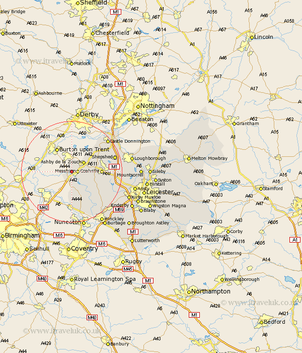
Leicestershire Map Showing Location of Donisthorpe
Population: 3360
Area Size (ha): 166
District: North West Leicestershire
Easting: 431519 Northing: 313367
Latitude: 52.72 Longitude: -1.53
 = Donisthorpe
Area Size (ha): 166
District: North West Leicestershire
Easting: 431519 Northing: 313367
Latitude: 52.72 Longitude: -1.53
= Donisthorpe
This Donisthorpe map below is supplied by Google. Use the tools in the top left corner to zoom into street level or zoom out for a road map, you may also need to zoom in to see Donisthorpe on the map. Click and drag the map to move around. If the map fails to load try and refresh your browser or zoom in or out (+ or -).
Update - it seems Google no longer allow people to use their maps for free! This Donisthorpe map sometimes loads and sometimes gives a error. I am working on a solution.
Closest 30 Towns or Cities to Donisthorpe (Population over 500)
Measham 2.25km Packington 4.49km Appleby Magna 5.67km Ashby de la Zouch 5.82km Heather 8.69km Ravenstone 9.17km Ravenstone with Snibston 9.17km Twycross 9.54km Coleorton 9.71km Shackerstone 10.02km Worthington 10.56km Ibstock 10.57km Coalville 11.23km Breedon 11.64km Breedon-on-the-Hill 11.64km Breedon on the Hill 11.64km Swannington 12.48km Sheepy 13.03km Market Bosworth 14.3km Belton 14.57km Barlestone 14.57km Bagworth 15.39km Diseworth 16.34km Sheepshed 17.21km Shepshed 17.21km Newbold Verdon 17.48km Markfield 17.74km Castle Donnington 18.68km Castle Donington 18.68km Stoke Golding 18.95km