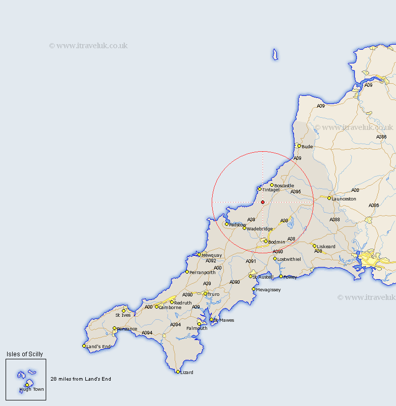
Cornwall Map Showing Location of Delabole
District: North Cornwall
Easting: 206660 Northing: 83296
Latitude: 50.62 Longitude: -4.73
 = Delabole
Easting: 206660 Northing: 83296
Latitude: 50.62 Longitude: -4.73
= Delabole
This Delabole map below is supplied by Google. Use the tools in the top left corner to zoom into street level or zoom out for a road map, you may also need to zoom in to see Delabole on the map. Click and drag the map to move around. If the map fails to load try and refresh your browser or zoom in or out (+ or -).
Update - it seems Google no longer allow people to use their maps for free! This Delabole map sometimes loads and sometimes gives a error. I am working on a solution.
Closest 30 Towns or Cities to Delabole (Population over 500)
Camelford 3.53km Tintagel 5.68km Forrabury 7.5km Blisland 11.67km Wadebridge 13.17km Altarnun 14.23km Cardingham 15.96km Cardinham 15.96km Bodmin 16.72km Padstow 16.9km St. Issey 18.33km St Issey 18.33km Saint Issey 18.33km Lanivet 18.69km St Merryn 19.88km St. Merryn 19.88km Saint Merryn 19.88km Pounstock 21.09km Poundstock 21.09km Lewannick 21.25km North Petherwin 22.41km North Hill 22.44km Dobwalls 24.04km Saint Blazey 24.12km St. Blazey 24.12km St Blazey 24.12km Lostwithiel 24.55km South Petherwin 24.69km St. Columb 24.81km St Columb 24.81km