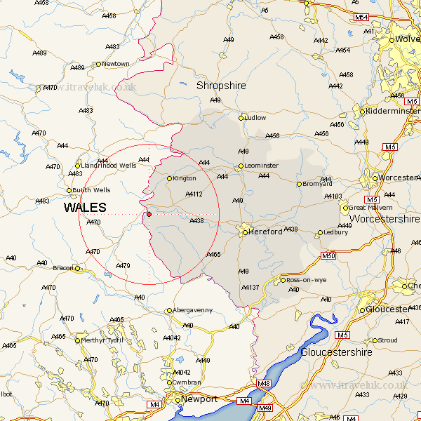
Herefordshire Map Showing Location of Clifford
Population: 530
Easting: 324661 Northing: 245245
Latitude: 52.1 Longitude: -3.1
 = Clifford
Easting: 324661 Northing: 245245
Latitude: 52.1 Longitude: -3.1
= Clifford
This Clifford map below is supplied by Google. Use the tools in the top left corner to zoom into street level or zoom out for a road map, you may also need to zoom in to see Clifford on the map. Click and drag the map to move around. If the map fails to load try and refresh your browser or zoom in or out (+ or -).
Update - it seems Google no longer allow people to use their maps for free! This Clifford map sometimes loads and sometimes gives a error. I am working on a solution.
Closest 30 Towns or Cities to Clifford (Population over 500)
Eardisley 7.77km Almeley 9.71km Kington 12.49km Peterchurch 12.65km Lyonshall 13.68km Weobley 17.57km Dilwyn 18.42km Madley 18.63km Pembridge 18.83km Kingstone 20.45km Credenhill 20.49km Eardisland 21.43km Ewyas Harold 22.31km Burghill 22.77km Shobdon 23.05km Allensmore 23.55km Wellington 24.18km Moreton-on-Lugg 25.04km Moreton on Lugg 25.04km Moreton 25.04km Kingsland 26.4km Hereford 26.78km Much Dewchurch 27.23km Bullingham 27.23km Sutton 28.46km Croft 28.87km Bodenham 28.98km Leominster 29.07km Wigmore 29.51km Much Birch 30.12km