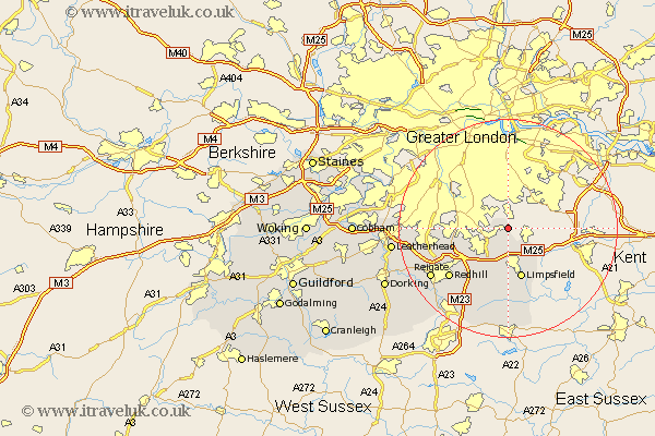
Surrey Map Showing Location of Chelsham
Population: 385
District: Tandridge
Easting: 538200 Northing: 159433
Latitude: 51.32 Longitude: -0.02
 = Chelsham
District: Tandridge
Easting: 538200 Northing: 159433
Latitude: 51.32 Longitude: -0.02
= Chelsham
This Chelsham map below is supplied by Google. Use the tools in the top left corner to zoom into street level or zoom out for a road map, you may also need to zoom in to see Chelsham on the map. Click and drag the map to move around. If the map fails to load try and refresh your browser or zoom in or out (+ or -).
Update - it seems Google no longer allow people to use their maps for free! This Chelsham map sometimes loads and sometimes gives a error. I am working on a solution.
Closest 30 Towns or Cities to Chelsham (Population over 500)
Farleigh 1.16km Farley 1.16km Warlingham 2.97km Woldingham 3.89km Whyteleafe 4.63km Tatsfield 5.08km Caterham 7.24km Oxted 9.27km Tandridge 9.35km Limpsfield 9.56km Godstone 9.9km Banstead 10.42km Bletchingley 10.94km Nutfield 13.12km Redhill 13.96km Tadworth 15.51km Salfords 16.65km Lingfield 16.68km Reigate 16.72km Horne 17.04km Buckland 18.69km Betchworth 18.69km Horley 19.68km Leigh 19.89km Leatherhead 21.18km Burstow 21.2km Mickleham 22.14km Felbridge 22.27km Oxshott 23.17km Charlwood 23.18km