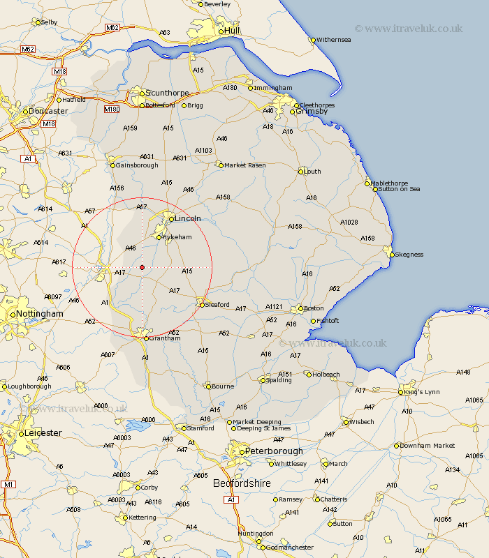
Lincolnshire Map Showing Location of Carlton
Population: 450
District: North Kesteven
Easting: 490378 Northing: 356751
Latitude: 53.1 Longitude: -0.65
 = Carlton
District: North Kesteven
Easting: 490378 Northing: 356751
Latitude: 53.1 Longitude: -0.65
= Carlton
This Carlton map below is supplied by Google. Use the tools in the top left corner to zoom into street level or zoom out for a road map, you may also need to zoom in to see Carlton on the map. Click and drag the map to move around. If the map fails to load try and refresh your browser or zoom in or out (+ or -).
Update - it seems Google no longer allow people to use their maps for free! This Carlton map sometimes loads and sometimes gives a error. I am working on a solution.
Closest 30 Towns or Cities to Carlton (Population over 500)
Bassingham 2.16km Aubourn 5.99km Swinderby 6.48km Welbourn 7.64km Wellingore 7.79km Fulbeck 8.65km Navenby 8.9km Claypole 9.27km Thorpe 9.33km Thorpe on the Hill 9.33km Thorpe-on-the-Hill 9.33km Eagle 9.53km Caythorpe 9.85km Hykeham 10.28km North Hykeham 10.28km Waddington 10.75km North Scarle 12.43km Cranwell 14.32km Skellingthorpe 14.99km Branston 15.34km Brauncewell 15.51km Bloxholme 15.69km Bloxholm 15.69km Long Bennington 16.26km Heighington 16.53km Scopwick 16.69km Lincoln 16.74km Ancaster 16.75km Metheringham 17.09km Nocton 17.24km