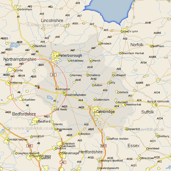
Cambridgeshire Map Showing Location of Bythorn
Population: 271
District: Huntingdonshire
Easting: 506657 Northing: 275491
Latitude: 52.37 Longitude: -0.43
 = Bythorn
District: Huntingdonshire
Easting: 506657 Northing: 275491
Latitude: 52.37 Longitude: -0.43
= Bythorn
This Bythorn map below is supplied by Google. Use the tools in the top left corner to zoom into street level or zoom out for a road map, you may also need to zoom in to see Bythorn on the map. Click and drag the map to move around. If the map fails to load try and refresh your browser or zoom in or out (+ or -).
Update - it seems Google no longer allow people to use their maps for free! This Bythorn map sometimes loads and sometimes gives a error. I am working on a solution.
Closest 30 Towns or Cities to Bythorn (Population over 500)
Spaldwick 7.74km Kimbolton 8.16km Alconbury 11.32km Ellington 11.61km Graffham 12.61km Grafham 12.61km Great Staughton 13.03km Sawtry 13.52km Brampton Grange 14.68km Brampton 14.68km Buckden 15.53km Folksworth 15.81km Stilton 16.48km Huntingdon 17.38km Holme 17.54km Little Paxton 17.99km Hail Weston 18km Offord 18.37km Offord Cluny 18.37km Elton 18.83km Durolipons 18.95km Godmanchester 18.95km Yaxley 19.34km Eaton Socon 19.55km Great Paxton 19.63km Saint Neots 20.17km St Neots 20.17km St. Neots 20.17km Wyton 21.83km Hemingford 22.22km