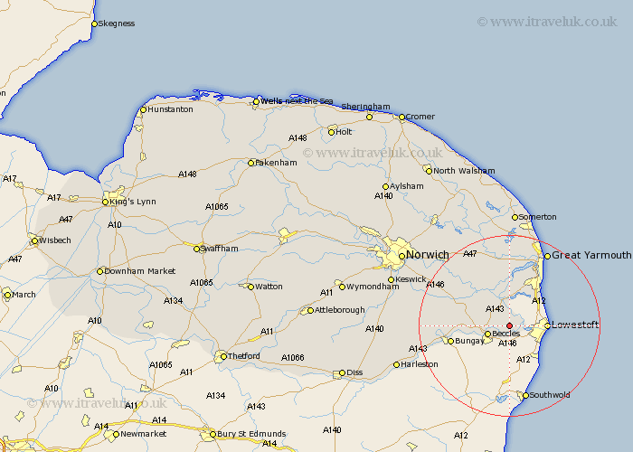
Norfolk Map Showing Location of Wheatacre Burgh
Population: 255
District: South Norfolk
Easting: 646668 Northing: 293512
Latitude: 52.48 Longitude: 1.63
 = Wheatacre Burgh
District: South Norfolk
Easting: 646668 Northing: 293512
Latitude: 52.48 Longitude: 1.63
= Wheatacre Burgh
This Wheatacre Burgh map below is supplied by Google. Use the tools in the top left corner to zoom into street level or zoom out for a road map, you may also need to zoom in to see Wheatacre Burgh on the map. Click and drag the map to move around. If the map fails to load try and refresh your browser or zoom in or out (+ or -).
Update - it seems Google no longer allow people to use their maps for free! This Wheatacre Burgh map sometimes loads and sometimes gives a error. I am working on a solution.
Closest 30 Towns or Cities to Wheatacre Burgh (Population over 500)
Fritton 5.56km Thurlton 7.16km Reedham 8.68km Hopton-on-Sea 8.76km Hopton on Sea 8.76km Hopton 8.76km Belton 9.87km Ellingham 10.33km Chedgrave 10.6km Loddon 11.88km Cantley 12.18km Freethorpe 12.47km Ditchingham 13.67km Earsham 15.14km Thurton 15.43km Acle 17.61km Lingwood 17.97km Yarmouth 18.45km Great Yarmouth 18.45km Brooke 18.47km Filby 18.67km Blofield 19.33km Upton 19.37km South Walsham 19.73km Brundall 20.07km Caister-on-Sea 20.14km Caister on Sea 20.14km Caister next Yarmouth 20.14km Caister 20.14km Poringland 20.56km