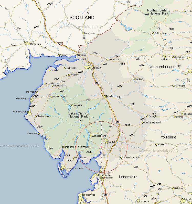
Cumbria Map Showing Location of Brigsteer
District: South Lakeland
Easting: 347922 Northing: 487830
Latitude: 54.28 Longitude: -2.8
 = Brigsteer
Easting: 347922 Northing: 487830
Latitude: 54.28 Longitude: -2.8
= Brigsteer
This Brigsteer map below is supplied by Google. Use the tools in the top left corner to zoom into street level or zoom out for a road map, you may also need to zoom in to see Brigsteer on the map. Click and drag the map to move around. If the map fails to load try and refresh your browser or zoom in or out (+ or -).
Update - it seems Google no longer allow people to use their maps for free! This Brigsteer map sometimes loads and sometimes gives a error. I am working on a solution.
Closest 30 Towns or Cities to Brigsteer (Population over 500)
Levens 3.86km Natland 4.33km Kendall 4.93km Kendal 4.93km Heversham 5.97km Milnthorpe 7.72km Staveley 9.34km Beetham 9.51km Arnside 11.33km Windermere 11.97km Holme 12.37km Haverthwaite 15.13km Holker 15.52km Lower Holker 15.52km Hawkshead 15.94km Colton 16.34km Kirkby Lonsdale 16.85km Kirkby Londsdale 16.85km Ambleside 18.35km Millthrop 18.76km Sedbergh 18.76km Milnthorpe 18.76km Coniston 19.62km Conistan 19.62km Tebay 20.43km Ulverston 21.58km Ulverstone 21.58km Dent 22.8km Pennington 24.35km Great Urswick 25.37km