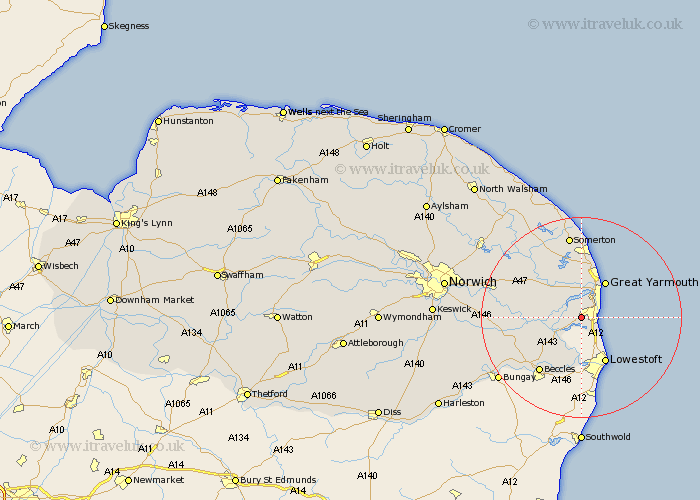
Norfolk Map Showing Location of Belton
Population: 4541
Area Size (ha): 116
District: Great Yarmouth
Easting: 649588 Northing: 302955
Latitude: 52.57 Longitude: 1.68
 = Belton
Area Size (ha): 116
District: Great Yarmouth
Easting: 649588 Northing: 302955
Latitude: 52.57 Longitude: 1.68
= Belton
This Belton map below is supplied by Google. Use the tools in the top left corner to zoom into street level or zoom out for a road map, you may also need to zoom in to see Belton on the map. Click and drag the map to move around. If the map fails to load try and refresh your browser or zoom in or out (+ or -).
Update - it seems Google no longer allow people to use their maps for free! This Belton map sometimes loads and sometimes gives a error. I am working on a solution.
Closest 30 Towns or Cities to Belton (Population over 500)
Fritton 5.02km Hopton 5.02km Hopton on Sea 5.02km Hopton-on-Sea 5.02km Reedham 8.1km Great Yarmouth 8.67km Yarmouth 8.67km Thurlton 8.72km Freethorpe 9.2km Filby 9.33km Caister-on-Sea 10.3km Caister next Yarmouth 10.3km Caister on Sea 10.3km Caister 10.3km Ormesby St Margaret 11.18km Ormesby St. Margaret 11.18km Great Ormesby 11.18km Ormesby Saint Margaret 11.18km Cantley 11.26km Acle 11.66km Upton 12.92km Chedgrave 12.94km Rollesby 13.01km Hemsby 13.01km South Walsham 13.73km Lingwood 14.61km Martham 15.49km Loddon 15.67km Blofield 16.71km Winterton-on-Sea 16.72km