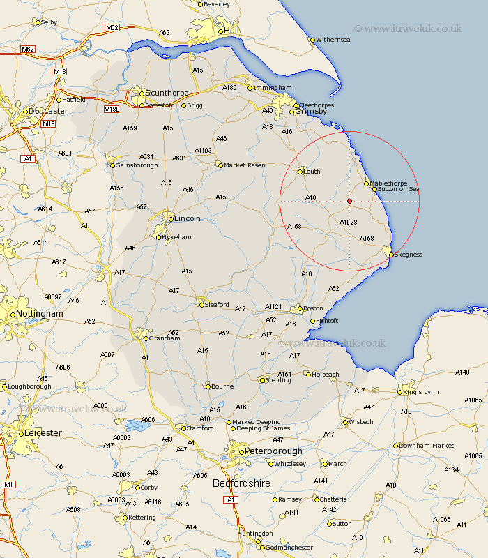
Lincolnshire Map Showing Location of Beesby
District: East Lindsey
Easting: 545539 Northing: 378512
Latitude: 53.28 Longitude: 0.18
 = Beesby
Easting: 545539 Northing: 378512
Latitude: 53.28 Longitude: 0.18
= Beesby
This Beesby map below is supplied by Google. Use the tools in the top left corner to zoom into street level or zoom out for a road map, you may also need to zoom in to see Beesby on the map. Click and drag the map to move around. If the map fails to load try and refresh your browser or zoom in or out (+ or -).
Update - it seems Google no longer allow people to use their maps for free! This Beesby map sometimes loads and sometimes gives a error. I am working on a solution.
Closest 30 Towns or Cities to Beesby (Population over 500)
Alford 3.7km Huttoft 6.66km Mablethorpe 7.11km Willoughby 7.49km Sutton-on-Sea 7.61km Sutton on Sea 7.61km Legbourne 10.46km Manby 10.8km Grimoldby 11.41km Chapel St Leonards 11.56km Chapel St. Leonards 11.56km Chapel Saint Leonards 11.56km Spilsby 12.43km Saltfleetby St Clement 12.98km Saltfleetby Saint Clement 12.98km Saltfleetby St. Clement 12.98km Saltfleetby 12.98km Saltfleet 14.83km Ingoldmells 14.94km Burgh le Marsh 15.47km Louth 16.2km North Somercotes 16.83km Croft 17.26km Mareham on the Hill 20.01km Mareham 20.01km Mareham-on-the-Hill 20.01km Skegness 20.03km Wainfleet 20.86km Wainfleet All Saints 20.86km Grainthorpe 21.44km