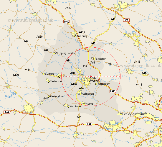
Oxfordshire Map Showing Location of Beckley
Population: 553
District: South Oxfordshire
Easting: 456329 Northing: 209769
Latitude: 51.78 Longitude: -1.18
 = Beckley
District: South Oxfordshire
Easting: 456329 Northing: 209769
Latitude: 51.78 Longitude: -1.18
= Beckley
This Beckley map below is supplied by Google. Use the tools in the top left corner to zoom into street level or zoom out for a road map, you may also need to zoom in to see Beckley on the map. Click and drag the map to move around. If the map fails to load try and refresh your browser or zoom in or out (+ or -).
Update - it seems Google no longer allow people to use their maps for free! This Beckley map sometimes loads and sometimes gives a error. I am working on a solution.
Closest 30 Towns or Cities to Beckley (Population over 500)
Islip 5.06km Oxford 5.9km Wheatley 6.54km Littlemore 7.75km Kidlington 7.82km Cuddesdon 8.17km Yarnton 8.24km Ambrosden 8.72km North Hinksey 8.85km Bletchingdon 9.37km Garsington 9.54km Tiddington 9.77km Great Milton 10.11km Milton 10.11km Kirtlington 10.9km Chesterton 11.12km Cassington 11.47km Radley 11.64km Woodstock 11.79km Launton 12.03km Bladon 12.05km Wootton 12.26km Great Haseley 12.26km Cumnor 12.71km Tackley 13.04km Sunningwell 13.08km Bicester 13.18km Stadhampton 13.42km Church Handborough 13.88km Hanborough 13.88km