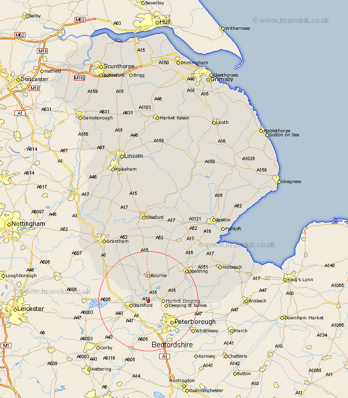
Lincolnshire Map Showing Location of Barholm
Population: 87
District: South Kesteven
Easting: 509314 Northing: 308930
Latitude: 52.67 Longitude: -0.38
 = Barholm
District: South Kesteven
Easting: 509314 Northing: 308930
Latitude: 52.67 Longitude: -0.38
= Barholm
This Barholm map below is supplied by Google. Use the tools in the top left corner to zoom into street level or zoom out for a road map, you may also need to zoom in to see Barholm on the map. Click and drag the map to move around. If the map fails to load try and refresh your browser or zoom in or out (+ or -).
Update - it seems Google no longer allow people to use their maps for free! This Barholm map sometimes loads and sometimes gives a error. I am working on a solution.
Closest 30 Towns or Cities to Barholm (Population over 500)
Uffington 2.92km Baston 4.33km Langfoft 5.01km Langtoft 5.01km Market Deeping 5.62km Thurlby 5.67km Deeping Saint James 7km Deeping St James 7km Deeping St. James 7km Stamford 7km Bourne 11.12km Bourn 11.12km Castle Bytham 12.53km Morton 13.02km Deeping St Nicholas 13.55km Deeping St. Nicholas 13.55km Deeping Saint Nicholas 13.55km Crowland 15.73km Croyland 15.73km Rippingale 16.72km Leverington 16.86km Corby 17.33km South Witham 18.25km Cowbit 19.43km Spalding 19.52km Pointon 20.66km Colsterworth 21.6km Pinchbeck 21.6km Folkingham 22.27km Billingborough 24.32km