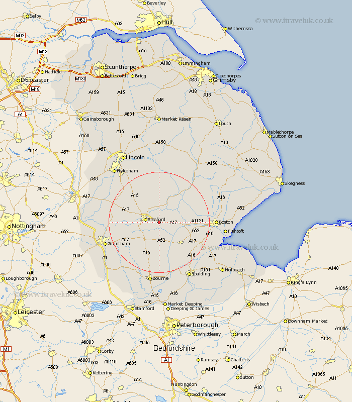
Lincolnshire Map Showing Location of Asgarby
District: North Kesteven
Easting: 511878 Northing: 344218
Latitude: 52.98 Longitude: -0.33
 = Asgarby
Easting: 511878 Northing: 344218
Latitude: 52.98 Longitude: -0.33
= Asgarby
This Asgarby map below is supplied by Google. Use the tools in the top left corner to zoom into street level or zoom out for a road map, you may also need to zoom in to see Asgarby on the map. Click and drag the map to move around. If the map fails to load try and refresh your browser or zoom in or out (+ or -).
Update - it seems Google no longer allow people to use their maps for free! This Asgarby map sometimes loads and sometimes gives a error. I am working on a solution.
Closest 30 Towns or Cities to Asgarby (Population over 500)
Heckington 3.82km Great Hale 4.99km Hale 4.99km Sleaford 5.25km Helpringham 5.99km Ruskington 6.49km Buskington 6.49km Heasingham 6.7km Leasingham 6.7km Brauncewell 9.99km Cranwell 10.51km Billingborough 11.12km Digby 11.34km Billinghay 11.61km Bloxholme 12.44km Bloxholm 12.44km Donington 12.87km Bicker 13.4km Swineshead 13.48km Ancaster 13.52km Folkingham 13.71km Scopwick 13.72km Pointon 14.82km Martin 14.83km Brothertoft 15.62km Tattershall 15.74km Ropsley 16.57km Quadring 17.12km Welbourn 17.2km Metheringham 17.26km