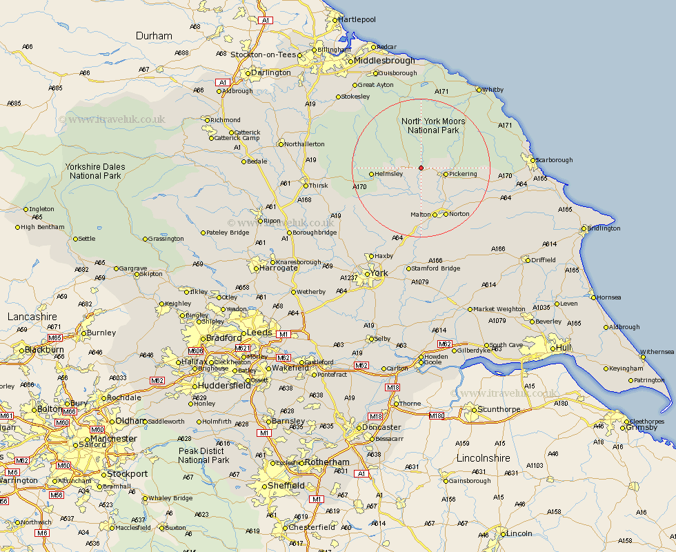
Yorkshire Map Showing Location of Appleton Le Moor
District: Ryedale
Easting: 473805 Northing: 486281
Latitude: 54.27 Longitude: -0.87
 = Appleton Le Moor
Easting: 473805 Northing: 486281
Latitude: 54.27 Longitude: -0.87
= Appleton Le Moor
This Appleton Le Moor map below is supplied by Google. Use the tools in the top left corner to zoom into street level or zoom out for a road map, you may also need to zoom in to see Appleton Le Moor on the map. Click and drag the map to move around. If the map fails to load try and refresh your browser or zoom in or out (+ or -).
Update - it seems Google no longer allow people to use their maps for free! This Appleton Le Moor map sometimes loads and sometimes gives a error. I am working on a solution.
Closest 30 Towns or Cities to Appleton Le Moor (Population over 500)
Kirkby Moorside 4.33km Kirby Moorside 4.33km Pickering 6.76km Nawton 8.44km Thornton Dale 10.43km Thornton-le-Dale 10.43km Helmsley 13.12km Slingsby 13.38km Malton 15.28km Norton 15.85km Rillington 16.91km Yedingham 17.86km Ampleforth 17.86km Terrington 17.9km Snainton 19.23km Brompton 21.31km Sheriff Hutton 22.16km Ingleby 23.91km Sleights 24.15km Stillington 24.66km Sherburn 25.33km Strensall 26.43km Huby 26.78km Fylingdales 27.3km Easingwold 27.36km Hawsker 28.17km Great Broughton 28.17km Scalby 28.19km Seamer 28.4km Willerby 28.63km