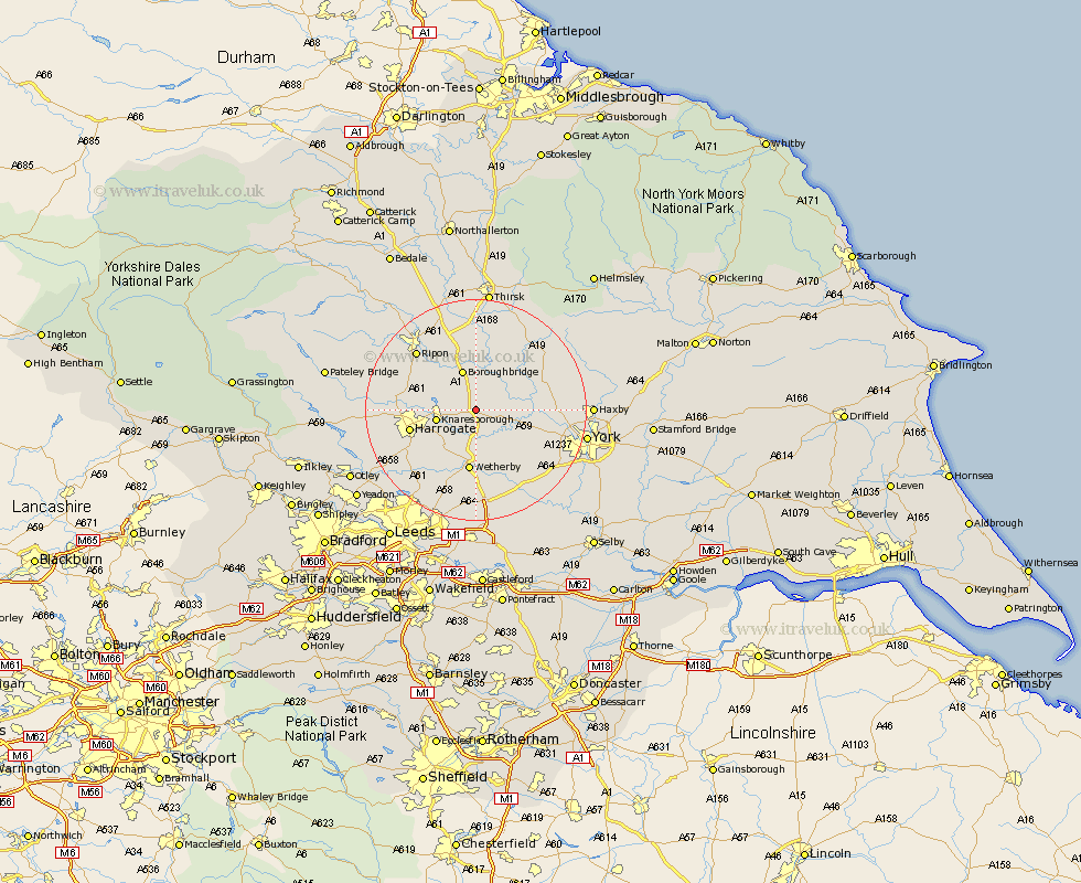
Yorkshire Map Showing Location of Allerton
Population: 130
District: Harrogate
Easting: 441493 Northing: 458061
Latitude: 54.02 Longitude: -1.37
 = Allerton
District: Harrogate
Easting: 441493 Northing: 458061
Latitude: 54.02 Longitude: -1.37
= Allerton
This Allerton map below is supplied by Google. Use the tools in the top left corner to zoom into street level or zoom out for a road map, you may also need to zoom in to see Allerton on the map. Click and drag the map to move around. If the map fails to load try and refresh your browser or zoom in or out (+ or -).
Update - it seems Google no longer allow people to use their maps for free! This Allerton map sometimes loads and sometimes gives a error. I am working on a solution.
Closest 30 Towns or Cities to Allerton (Population over 500)
Whixley 3.27km Green Hammerton 4.74km Ouseburn 4.94km Great Ouseburn 4.94km Marton le Moor 5.56km Marton 5.56km Hammerton 5.73km Kirk Hammerton 5.73km Knaresborough 6.79km Boroughbridge 7.72km Linton upon Ouse 7.84km Linton on Ouse 7.84km Linton 7.84km Linton-on-Ouse 7.84km Newton upon Ouse 9.97km Newton 9.97km Burton Leonard 10.33km Wetherby 11.17km Tollerton 11.26km Thorp Arch 11.33km Thorpe Arch 11.33km Monkton 11.43km Bishop Monkton 11.43km Alne 11.43km Long Marston 11.45km Harrogate 11.51km Killinghall 11.98km Boston Spa 13.02km Collingham 13.16km Pannal 13.18km