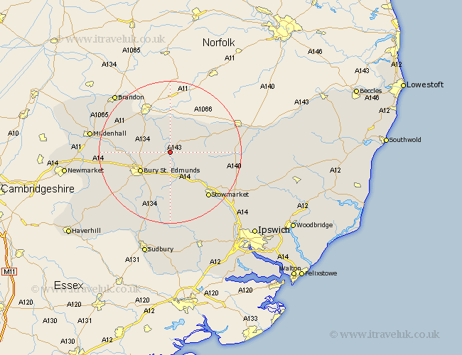
Suffolk Map Showing Location of Ixworth
Population: 1948
Area Size (ha): 58
District: St. Edmundsbury
Easting: 593168 Northing: 270698
Latitude: 52.3 Longitude: 0.83
 = Ixworth
Area Size (ha): 58
District: St. Edmundsbury
Easting: 593168 Northing: 270698
Latitude: 52.3 Longitude: 0.83
= Ixworth
This Ixworth map below is supplied by Google. Use the tools in the top left corner to zoom into street level or zoom out for a road map, you may also need to zoom in to see Ixworth on the map. Click and drag the map to move around. If the map fails to load try and refresh your browser or zoom in or out (+ or -).
Update - it seems Google no longer allow people to use their maps for free! This Ixworth map sometimes loads and sometimes gives a error. I am working on a solution.
Closest 30 Towns or Cities to Ixworth (Population over 500)
Bardwell 2.18km Pakenham 3.7km Troston 3.87km Honington 4.34km Stanton 4.9km Thurston 5.67km Great Barton 5.85km Badwell Ash 5.96km Norton 6km Hepworth 6.77km Barningham 7.17km Elmswell 9.34km Bury St. Edmunds 9.69km Bury Saint Edmunds 9.69km Bury St Edmunds 9.69km Fornham All Saints 9.8km Hopton 10.06km Barnham 10.06km Rushbrooke 10.31km Woolpit 10.31km Bradfield Saint George 11.35km Bradfield 11.35km Bradfield St. George 11.35km Bradfield St George 11.35km Botesdale 13km Bacton 13.01km Rattlesden 13.42km Redgrave 13.54km Haughley 13.78km Risby 14.1km