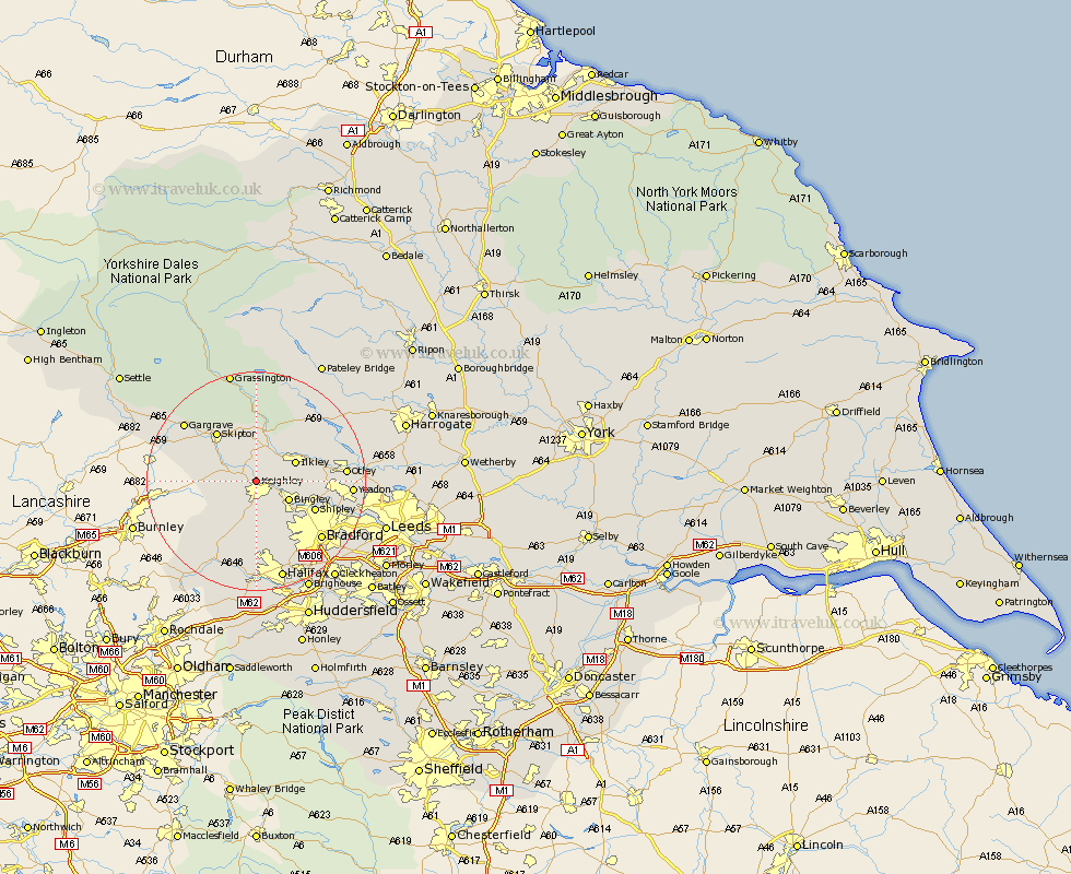
Yorkshire Map Showing Location of Keighley
Population: 48553
Area Size (ha): 1073
District: Bradford
Easting: 405476 Northing: 443038
Latitude: 53.88 Longitude: -1.92
 = Keighley
Area Size (ha): 1073
District: Bradford
Easting: 405476 Northing: 443038
Latitude: 53.88 Longitude: -1.92
= Keighley
This Keighley map below is supplied by Google. Use the tools in the top left corner to zoom into street level or zoom out for a road map, you may also need to zoom in to see Keighley on the map. Click and drag the map to move around. If the map fails to load try and refresh your browser or zoom in or out (+ or -).
Update - it seems Google no longer allow people to use their maps for free! This Keighley map sometimes loads and sometimes gives a error. I am working on a solution.
Closest 30 Towns or Cities to Keighley (Population over 500)
Silsden 2.15km Steeton 2.18km Sutton-in-Craven 4.37km Glusburn 5.77km Addingham 5.97km Bingley 6.6km Cullingworth 7.49km Cononley 7.53km Ilkley 7.53km Haworth 7.72km Wilsden 8.1km Oxenhope 9.52km Embsay 10.25km Carleton 10.35km Carlton 10.35km Baildon 10.51km Denholme 11.17km Shipley 11.3km Skipton 11.35km Burley 11.53km Burley in Wharfedale 11.53km Menston 12.02km Queensbury 12.97km Guiseley 13.24km Earby 13.62km Otley 15.4km Bradford 15.6km Heptonstall 16.21km Hebden Bridge 16.21km Gargrave 16.36km