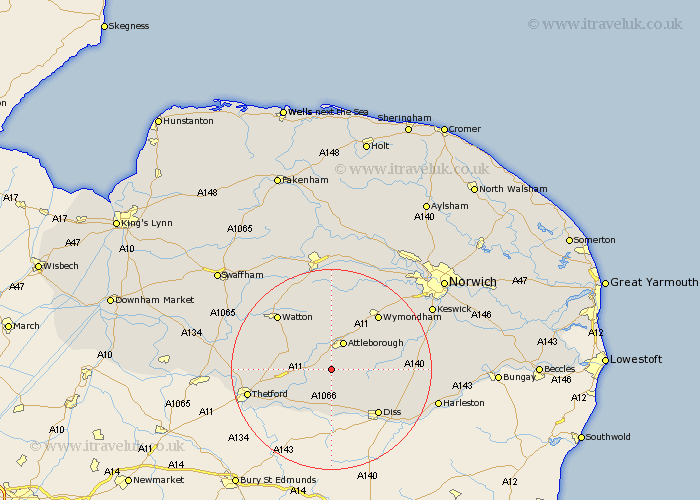
Norfolk Map Showing Location of Wilby
District: Breckland
Easting: 602627 Northing: 289643
Latitude: 52.47 Longitude: 0.98
 = Wilby
Easting: 602627 Northing: 289643
Latitude: 52.47 Longitude: 0.98
= Wilby
This Wilby map below is supplied by Google. Use the tools in the top left corner to zoom into street level or zoom out for a road map, you may also need to zoom in to see Wilby on the map. Click and drag the map to move around. If the map fails to load try and refresh your browser or zoom in or out (+ or -).
Update - it seems Google no longer allow people to use their maps for free! This Wilby map sometimes loads and sometimes gives a error. I am working on a solution.
Closest 30 Towns or Cities to Wilby (Population over 500)
Quidenham 1.86km Kenninghall 3.71km Banham 3.86km Old Buckenham 4.88km East Harling 5.03km Attleborough 6km Besthorpe 6.51km Great Ellingham 7.49km North Lopham 7.5km Hockham 7.72km Harling 7.92km Rockland 8.67km Rockland St Peter 8.67km Rockland Saint Peter 8.67km Rockland St. Peter 8.67km Garboldisham 9.54km Bressingham 9.87km Bunwell 10.33km Griston 12.17km Diss 12.95km Hingham 12.97km Burston 13.52km Moulton St Michael 13.55km Great Moulton 13.55km Moulton St. Michael 13.55km Moulton 13.55km Moulton Saint Michael 13.55km Roydon 13.65km Wymondham 14.32km Carbrooke 14.62km