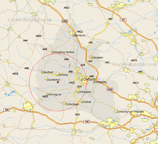
Oxfordshire Map Showing Location of Yelford
District: West Oxfordshire
Easting: 435676 Northing: 204020
Latitude: 51.73 Longitude: -1.48
 = Yelford
Easting: 435676 Northing: 204020
Latitude: 51.73 Longitude: -1.48
= Yelford
This Yelford map below is supplied by Google. Use the tools in the top left corner to zoom into street level or zoom out for a road map, you may also need to zoom in to see Yelford on the map. Click and drag the map to move around. If the map fails to load try and refresh your browser or zoom in or out (+ or -).
Update - it seems Google no longer allow people to use their maps for free! This Yelford map sometimes loads and sometimes gives a error. I am working on a solution.
Closest 30 Towns or Cities to Yelford (Population over 500)
Ducklington 1.86km Bampton 3.91km Standlake 4.95km Witney 5.56km Stanton Harcourt 5.74km Longworth 6.54km Brize Norton 6.83km Carterton 7.13km Hailey 7.42km Buckland 7.49km Clanfield 7.82km Ensham 7.82km Eynsham 7.82km Minster Lovell 8.18km North Leigh 8.18km Kingston Bagpuize 8.72km Kingston Bagpuze 8.72km Shilton 8.85km Leafield 9.89km Hanborough 10.12km Church Handborough 10.12km Cumnor 10.49km Cassington 10.73km Stanford in the Vale 11.18km Faringdon 11.55km Stonesfield 11.64km Burford 12.71km Bladon 13.04km Wootton 13.16km North Hinksey 13.77km