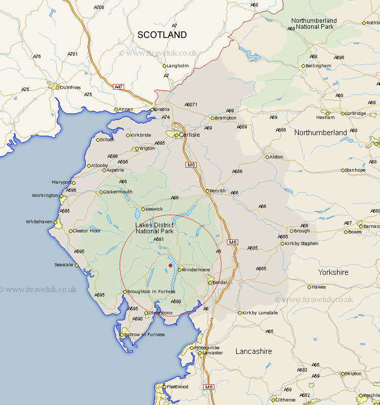
Cumbria Map Showing Location of Wray
District: South Lakeland
Easting: 337225 Northing: 499091
Latitude: 54.38 Longitude: -2.97
 = Wray
Easting: 337225 Northing: 499091
Latitude: 54.38 Longitude: -2.97
= Wray
This Wray map below is supplied by Google. Use the tools in the top left corner to zoom into street level or zoom out for a road map, you may also need to zoom in to see Wray on the map. Click and drag the map to move around. If the map fails to load try and refresh your browser or zoom in or out (+ or -).
Update - it seems Google no longer allow people to use their maps for free! This Wray map sometimes loads and sometimes gives a error. I am working on a solution.
Closest 30 Towns or Cities to Wray (Population over 500)
Hawkshead 2.84km Ambleside 3.71km Windermere 3.73km Coniston 6.73km Conistan 6.73km Staveley 9.89km Colton 14.05km Kendall 15.87km Kendal 15.87km Haverthwaite 16.99km Natland 18.78km Levens 19km Heversham 21.13km Ulverstone 22.14km Ulverston 22.14km Holker 22.24km Lower Holker 22.24km Milnthorpe 22.62km Arnside 23.86km Beetham 24.16km Shap 24.42km Pennington 24.73km Tebay 25.09km Koswick 25.97km Keswick 25.97km Lindal 26.86km Lindal in Furness 26.86km Dacre 27.34km Orton 27.49km Askam 27.53km