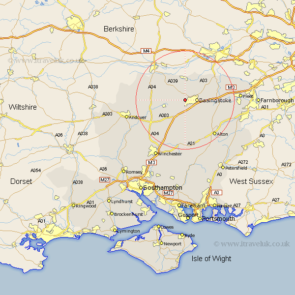
Hampshire Map Showing Location of Wooton St Lawrence
District: Basingstoke and Deane
Easting: 459295 Northing: 152349
Latitude: 51.27 Longitude: -1.15
 = Wooton St Lawrence
Easting: 459295 Northing: 152349
Latitude: 51.27 Longitude: -1.15
= Wooton St Lawrence
This Wooton St Lawrence map below is supplied by Google. Use the tools in the top left corner to zoom into street level or zoom out for a road map, you may also need to zoom in to see Wooton St Lawrence on the map. Click and drag the map to move around. If the map fails to load try and refresh your browser or zoom in or out (+ or -).
Update - it seems Google no longer allow people to use their maps for free! This Wooton St Lawrence map sometimes loads and sometimes gives a error. I am working on a solution.
Closest 30 Towns or Cities to Wooton St Lawrence (Population over 500)
Oakley 2.97km Basingstoke 4.64km Dummer 7.42km Baughurst 7.5km North Waltham 7.77km Overton 7.89km Bramley 8.03km Basing 8.12km Kingsclere 8.9km Tadley 9.33km Sherfield upon Loddon 9.98km Sherfield 9.98km Silchester 10.92km Ecchinswell 10.98km Upton Grey 11.83km Burghclere 12.85km Rotherwick 12.89km Hook 13.91km Whitchurch 13.92km Highclere 14.74km Odiham 15.19km Long Sutton 16.07km Micheldever 16.91km Wonston 17.41km Medstead 17.66km Four Marks 18.08km Winchfield 18.55km Barton Stacey 18.75km Alton 18.84km Hartley Wintney 18.91km