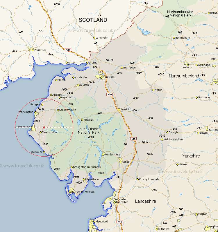
Cumbria Map Showing Location of Winder
District: Copeland
Easting: 304067 Northing: 518220
Latitude: 54.55 Longitude: -3.48
 = Winder
Easting: 304067 Northing: 518220
Latitude: 54.55 Longitude: -3.48
= Winder
This Winder map below is supplied by Google. Use the tools in the top left corner to zoom into street level or zoom out for a road map, you may also need to zoom in to see Winder on the map. Click and drag the map to move around. If the map fails to load try and refresh your browser or zoom in or out (+ or -).
Update - it seems Google no longer allow people to use their maps for free! This Winder map sometimes loads and sometimes gives a error. I am working on a solution.
Closest 30 Towns or Cities to Winder (Population over 500)
Frizington 1.86km Cleator Moor 4.28km Distington 4.91km Lamplugh 5.68km Dean 6.43km Parton 6.71km Lowca 7.43km Whitehaven 7.52km Egremont 9.51km St Bees 10.25km St Bega 10.25km St. Bees 10.25km Saint Bees 10.25km St. Bega 10.25km Saint Bega 10.25km Brigham 11.92km Workington 12.35km Broughton Moor 14.86km Flimby 14.98km Cockermouth 15.56km Bridekirk 16.62km Maryport 16.71km Dearham 16.99km Gosforth 16.99km Seascale 18.54km Crosscanonby 20.63km Aspatria 24.24km Koswick 24.28km Keswick 24.28km Bromfield 31.09km