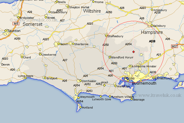
Dorset Map Showing Location of Saint Giles
District: East Dorset
Easting: 403515 Northing: 111231
Latitude: 50.9 Longitude: -1.95
 = Saint Giles
Easting: 403515 Northing: 111231
Latitude: 50.9 Longitude: -1.95
= Saint Giles
This Saint Giles map below is supplied by Google. Use the tools in the top left corner to zoom into street level or zoom out for a road map, you may also need to zoom in to see Saint Giles on the map. Click and drag the map to move around. If the map fails to load try and refresh your browser or zoom in or out (+ or -).
Update - it seems Google no longer allow people to use their maps for free! This Saint Giles map sometimes loads and sometimes gives a error. I am working on a solution.
Closest 30 Towns or Cities to Saint Giles (Population over 500)
Cranborne 2.34km Horton 5.56km Handley 6.57km Verwood 6.92km Alderholt 8.39km West Moors 9.9km Tarrant Monkton 10.06km St. Leonards 10.21km St Leonards 10.21km Saint Leonards 10.21km Wimborne 10.28km Wimborne Minster 10.28km Ferndown 12.56km Fern Down 12.56km Pimperne 12.99km Corfe Mullen 14.23km Spetisbury 14.92km Sturminster Marshall 15.35km Blandford Forum 15.64km Blandford 15.64km Charlton 15.84km West Parley 15.94km Parley 15.94km Iwerne Minster 16.77km Fontmell Magna 17.27km Stourpaine 17.63km Lytchett Matravers 18.58km Child Okeford 19.95km Poole 20.68km Shaftesbury 20.75km