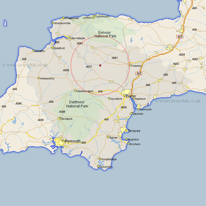
Devon Map Showing Location of West Worlington
District: Mid Devon
Easting: 275783 Northing: 112717
Latitude: 50.9 Longitude: -3.77
 = West Worlington
Easting: 275783 Northing: 112717
Latitude: 50.9 Longitude: -3.77
= West Worlington
This West Worlington map below is supplied by Google. Use the tools in the top left corner to zoom into street level or zoom out for a road map, you may also need to zoom in to see West Worlington on the map. Click and drag the map to move around. If the map fails to load try and refresh your browser or zoom in or out (+ or -).
Update - it seems Google no longer allow people to use their maps for free! This West Worlington map sometimes loads and sometimes gives a error. I am working on a solution.
Closest 30 Towns or Cities to West Worlington (Population over 500)
Witheridge 3.97km Lapford 4.38km Chawleigh 4.68km Morchard Bishop 5.68km Chulmleigh 7.25km Copplestone 11.18km Sandford 11.62km Nymet Tracey 11.66km Bow 11.66km Cheriton Fitzpaine 11.9km Barrington 13.38km Burrington 13.38km South Molton 13.79km North Tawton 14.53km Crediton 15.34km North Molton 16.84km High Bickington 17.96km Chittlehampton 18.26km Sampford Courtnay 18.28km Sampford Courtenay 18.28km Sampford Courtney 18.28km Cheriton Bishop 18.68km Dolton 18.8km St Cyres 18.89km Newton Saint Cyres 18.89km Newton St. Cyres 18.89km Newton St Cyres 18.89km Saint Cyres 18.89km St. Cyres 18.89km Tedburn St Mary 19.44km