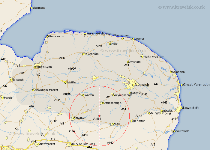
Norfolk Map Showing Location of Kenninghall
Population: 878
District: Breckland
Easting: 602781 Northing: 285934
Latitude: 52.43 Longitude: 0.98
 = Kenninghall
District: Breckland
Easting: 602781 Northing: 285934
Latitude: 52.43 Longitude: 0.98
= Kenninghall
This Kenninghall map below is supplied by Google. Use the tools in the top left corner to zoom into street level or zoom out for a road map, you may also need to zoom in to see Kenninghall on the map. Click and drag the map to move around. If the map fails to load try and refresh your browser or zoom in or out (+ or -).
Update - it seems Google no longer allow people to use their maps for free! This Kenninghall map sometimes loads and sometimes gives a error. I am working on a solution.
Closest 30 Towns or Cities to Kenninghall (Population over 500)
Quidenham 1.85km East Harling 3.39km Banham 3.86km North Lopham 3.88km Harling 5.95km Garboldisham 6.01km Bressingham 6.52km Old Buckenham 7.16km Attleborough 9.54km Besthorpe 9.87km Hockham 10.04km Diss 10.62km Roydon 10.84km Great Ellingham 11.17km Bunwell 11.58km Burston 11.9km Rockland 12km Rockland St Peter 12km Rockland Saint Peter 12km Rockland St. Peter 12km Moulton St. Michael 14.05km Moulton 14.05km Moulton Saint Michael 14.05km Moulton St Michael 14.05km Great Moulton 14.05km Scole 14.48km Griston 15.19km Thetford 15.93km Forncett 16.44km Forncett Saint Mary 16.44km