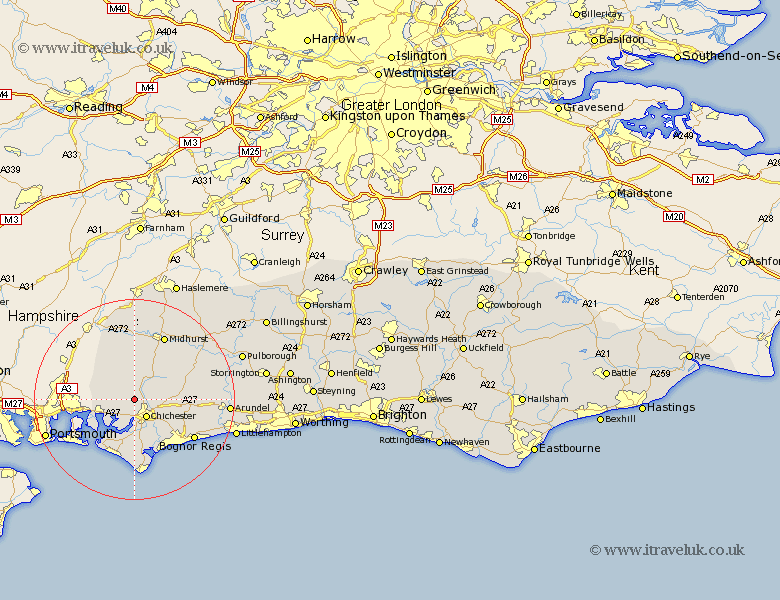
Sussex Map Showing Location of West Stoke
District: Chichester
Easting: 483262 Northing: 108195
Latitude: 50.87 Longitude: -0.82
 = West Stoke
Easting: 483262 Northing: 108195
Latitude: 50.87 Longitude: -0.82
= West Stoke
This West Stoke map below is supplied by Google. Use the tools in the top left corner to zoom into street level or zoom out for a road map, you may also need to zoom in to see West Stoke on the map. Click and drag the map to move around. If the map fails to load try and refresh your browser or zoom in or out (+ or -).
Update - it seems Google no longer allow people to use their maps for free! This West Stoke map sometimes loads and sometimes gives a error. I am working on a solution.
Closest 30 Towns or Cities to West Stoke (Population over 500)
Stoughton 2.98km Lavant 2.99km Fishbourne 3.89km Chichester 4.39km Funtington 4.68km Bosham 6.58km Boxgrove 7.26km Tangmere 7.26km Southbourne 7.26km Westbourne 7.26km Donnington 7.78km Dunnington 7.78km Oving 7.94km Mundham 8.77km North Mundham 8.77km Birdham 9.35km West Thorney 9.45km Sidlesham 9.56km East Harting 11.66km Graffham 11.93km East Wittering 12.07km Pagham 12.07km Eastergate 12.28km West Wittering 12.57km Hayling Island 12.88km Slindon 13km Iping 13.17km Bersted 13.18km Westergate 13.72km Barnham 14.02km