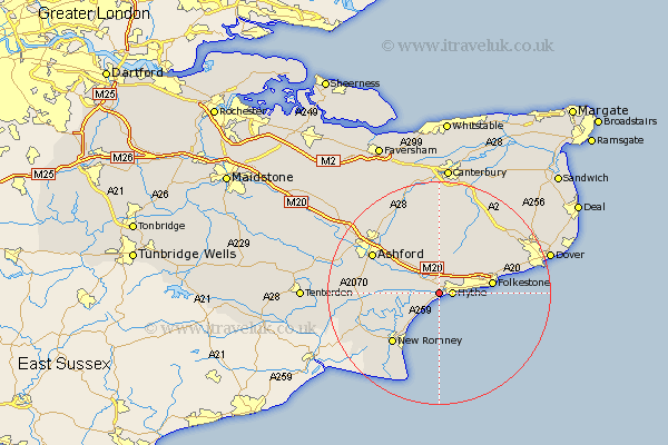
Kent Map Showing Location of West Hythe
District: Shepway
Easting: 613668 Northing: 134192
Latitude: 51.07 Longitude: 1.05
 = West Hythe
Easting: 613668 Northing: 134192
Latitude: 51.07 Longitude: 1.05
= West Hythe
This West Hythe map below is supplied by Google. Use the tools in the top left corner to zoom into street level or zoom out for a road map, you may also need to zoom in to see West Hythe on the map. Click and drag the map to move around. If the map fails to load try and refresh your browser or zoom in or out (+ or -).
Update - it seems Google no longer allow people to use their maps for free! This West Hythe map sometimes loads and sometimes gives a error. I am working on a solution.
Closest 30 Towns or Cities to West Hythe (Population over 500)
Lympne 1.16km Hythe 2.33km Sellindge 5.09km Sellinge 5.09km Lyminge 6.03km Dymchurch 6.57km Aldington 7.23km Smeeth 8.05km Brabourne 8.19km Mersham 8.95km Hawkinge 8.95km Folkstone 9.5km Folkestone 9.5km Elham 10.37km Hinxhill 11.01km Rockinge 11.8km Ruckinge 11.8km Swingfield 11.9km New Romney 12.35km Stelling 13.02km Ashford 13.79km Orlestone 13.97km Ham Street 14.1km Kingsnorth 14.45km Alkham 14.79km Kennington 14.87km Wye 15.31km Lydd 15.98km Petham 16.68km Shadoxhurst 16.71km