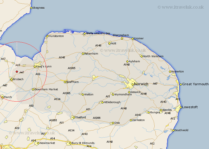
Norfolk Map Showing Location of Walpole St Peter
District: King's Lynn and West Norfolk
Easting: 549708 Northing: 315569
Latitude: 52.72 Longitude: 0.22
 = Walpole St Peter
Easting: 549708 Northing: 315569
Latitude: 52.72 Longitude: 0.22
= Walpole St Peter
This Walpole St Peter map below is supplied by Google. Use the tools in the top left corner to zoom into street level or zoom out for a road map, you may also need to zoom in to see Walpole St Peter on the map. Click and drag the map to move around. If the map fails to load try and refresh your browser or zoom in or out (+ or -).
Update - it seems Google no longer allow people to use their maps for free! This Walpole St Peter map sometimes loads and sometimes gives a error. I am working on a solution.
Closest 30 Towns or Cities to Walpole St Peter (Population over 500)
Walpole 2.16km Walton 3.85km West Walton 3.85km Tilney Saint Lawrence 5.91km Tilney St. Lawrence 5.91km Tilney St Lawrence 5.91km Tilney 5.91km Walsoken 6km Terrington Saint Clement 6.72km Terrington St Clement 6.72km Terrington St. Clement 6.72km Terrington 6.72km Emneth 9.34km Clenchwarton 9.71km Outwell 11.18km Lynn 11.82km Lynn Regis 11.82km Kings Lynn 11.82km King's Lynn 11.82km Watlington 12.53km Upwell 12.98km Runcton 14.41km Runcton Holme 14.41km North Runcton 14.71km South Wootton 15.61km North Wootton 16.36km Downham Market 16.45km Middleton 16.84km Denver 17.95km East Winch 19.17km