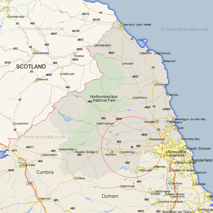
Northumberland Map Showing Location of Wall Houses
District: Tynedale
Easting: 405329 Northing: 567280
Latitude: 55 Longitude: -1.92
 = Wall Houses
Easting: 405329 Northing: 567280
Latitude: 55 Longitude: -1.92
= Wall Houses
This Wall Houses map below is supplied by Google. Use the tools in the top left corner to zoom into street level or zoom out for a road map, you may also need to zoom in to see Wall Houses on the map. Click and drag the map to move around. If the map fails to load try and refresh your browser or zoom in or out (+ or -).
Update - it seems Google no longer allow people to use their maps for free! This Wall Houses map sometimes loads and sometimes gives a error. I am working on a solution.
Closest 30 Towns or Cities to Wall Houses (Population over 500)
Stamfordham 4.89km Ovingham 4.89km Wylam 5.64km Prudhoe 7km Corbridge 7.38km Stocksfield 7.42km Riding 8.07km Ridingmill 8.07km Sandhoe 8.71km Acomb 11.84km Ponteland 11.99km Challerton 12.26km Chollerton 12.26km Hexham 12.27km Newburn 12.27km Slaley 13.38km Warden 13.94km Humshaugh 14.3km Woolsington 14.99km Dinnington 15.88km Newbrough 17.01km Gosforth 19.13km Stannington 19.42km Wark 20.51km Haydon Bridge 20.54km Newcastle-on-Tyne 20.54km Newcastle 20.54km Newcastle on Tyne 20.54km Newcastle upon Tyne 20.54km Long Benton 22.32km