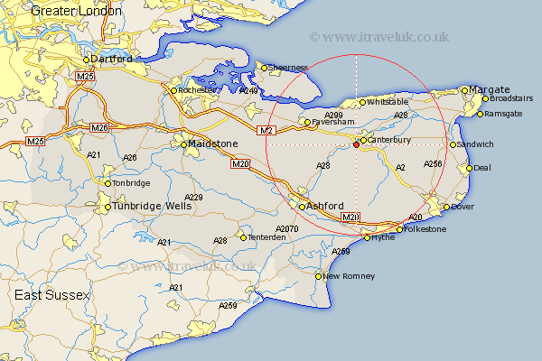
Kent Map Showing Location of Thannington
District: Canterbury
Easting: 612745 Northing: 156425
Latitude: 51.27 Longitude: 1.05
 = Thannington
Easting: 612745 Northing: 156425
Latitude: 51.27 Longitude: 1.05
= Thannington
This Thannington map below is supplied by Google. Use the tools in the top left corner to zoom into street level or zoom out for a road map, you may also need to zoom in to see Thannington on the map. Click and drag the map to move around. If the map fails to load try and refresh your browser or zoom in or out (+ or -).
Update - it seems Google no longer allow people to use their maps for free! This Thannington map sometimes loads and sometimes gives a error. I am working on a solution.
Closest 30 Towns or Cities to Thannington (Population over 500)
Canterbury 1.97km Harbledown 2.18km Hackington 2.96km Chartham 2.97km Blean 3.7km Lower Hardres 3.89km Dunkirk 4.99km Sturry 4.99km Petham 5.56km Bridge 5.94km Chilham 6.89km Littlebourne 8.12km Selling 9.28km Chestfield 9.33km Stelling 9.35km Whitstable 10.32km Hoath 10.98km Wingham 11.6km Broomfield 11.71km Faversham 11.82km Wye 12.33km Herne Bay 12.54km Chislet 12.79km Oare 12.85km Ospringe 13.28km Preston 13.28km Elham 13.78km Staple 14.04km Brabourne 15.24km Shepherdswell 15.78km