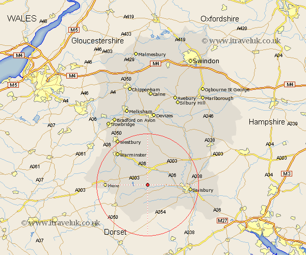
Wiltshire Map Showing Location of Teffont Magna
District: Salisbury
Easting: 398832 Northing: 131612
Latitude: 51.08 Longitude: -2.02
 = Teffont Magna
Easting: 398832 Northing: 131612
Latitude: 51.08 Longitude: -2.02
= Teffont Magna
This Teffont Magna map below is supplied by Google. Use the tools in the top left corner to zoom into street level or zoom out for a road map, you may also need to zoom in to see Teffont Magna on the map. Click and drag the map to move around. If the map fails to load try and refresh your browser or zoom in or out (+ or -).
Update - it seems Google no longer allow people to use their maps for free! This Teffont Magna map sometimes loads and sometimes gives a error. I am working on a solution.
Closest 30 Towns or Cities to Teffont Magna (Population over 500)
Dinton 2.33km Fovant 3.88km Tisbury 5.01km Codford 7.77km Longford 8.05km Steeple Langford 8.05km Hindon 8.36km Broad Chalke 9.42km Wilton 10.48km South Newton 10.64km Bishop's Knoyle 10.64km East Knoyle 10.64km Semley 10.85km Bishopstone 11.02km Combebissett 12.91km Coombe Bissett 12.91km Heytesbury 13.13km Shrewton 13.78km Longbridge Deverill 15.8km Mere 16.3km Salisbury 16.41km New Sarum 16.41km Odstock 17.23km Warminster 17.42km Lark Hill 17.85km Britford 18.34km West Lavington 18.57km Winterbourne Dauntsey 18.72km Winterbourne 18.72km Amesbury 18.74km