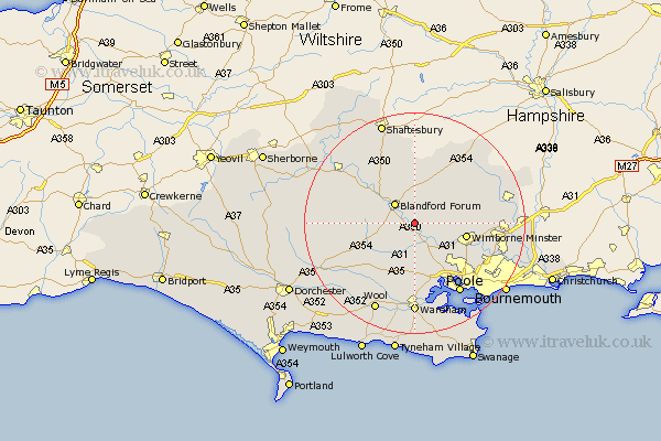
Dorset Map Showing Location of Tarrant Keynston
District: North Dorset
Easting: 391784 Northing: 103820
Latitude: 50.83 Longitude: -2.12
 = Tarrant Keynston
Easting: 391784 Northing: 103820
Latitude: 50.83 Longitude: -2.12
= Tarrant Keynston
This Tarrant Keynston map below is supplied by Google. Use the tools in the top left corner to zoom into street level or zoom out for a road map, you may also need to zoom in to see Tarrant Keynston on the map. Click and drag the map to move around. If the map fails to load try and refresh your browser or zoom in or out (+ or -).
Update - it seems Google no longer allow people to use their maps for free! This Tarrant Keynston map sometimes loads and sometimes gives a error. I am working on a solution.
Closest 30 Towns or Cities to Tarrant Keynston (Population over 500)
Spetisbury 1.85km Tarrant Monkton 4.39km Blandford 5.11km Blandford Forum 5.11km Pimperne 5.68km Sturminster Marshall 6.58km Stourpaine 8.07km Corfe Mullen 8.07km Stickland Winterborne 8.19km Winterborne Stickland 8.19km Whitechurch 8.99km Winterborne Kingston 9.44km Wimborne Minster 9.72km Wimborne 9.72km Lytchett Matravers 9.91km Bere Regis 11.63km Horton 11.85km Shillingstone 11.94km Iwerne Minster 12.06km Milton Abbas 12.28km Child Okeford 12.37km Holton Heath 13.18km Holton Heath Station 13.18km Fontmell Magna 13.79km Milborne 13.86km Milborne St Andrew 13.86km Milborne Saint Andrew 13.86km Milborne St. Andrew 13.86km Sturminster Newton 14.92km West Moors 15.33km