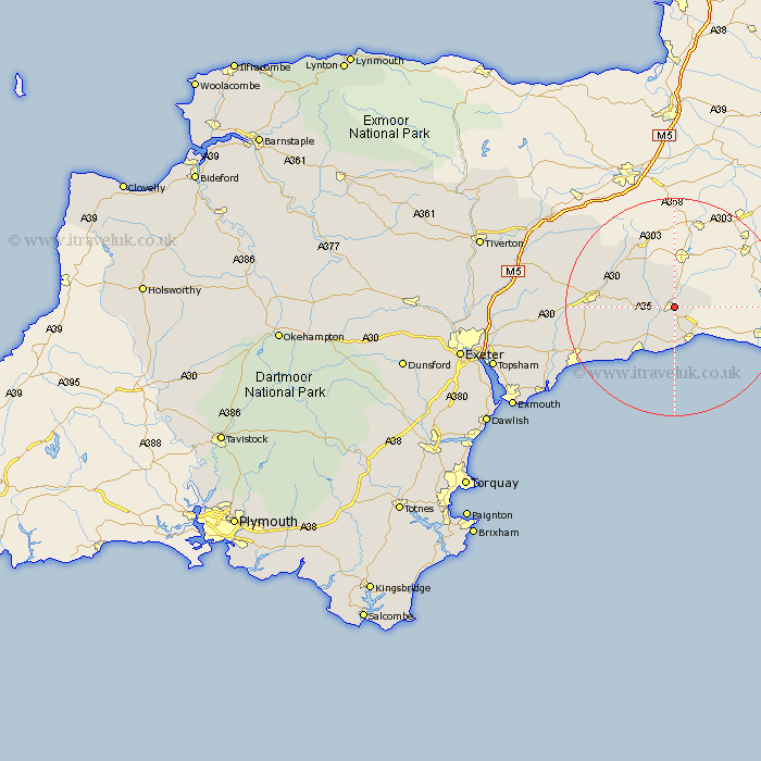
Devon Map Showing Location of Axminster
Population: 3449
Area Size (ha): 136
District: East Devon
Easting: 330686 Northing: 98719
Latitude: 50.78 Longitude: -2.98
 = Axminster
Area Size (ha): 136
District: East Devon
Easting: 330686 Northing: 98719
Latitude: 50.78 Longitude: -2.98
= Axminster
This Axminster map below is supplied by Google. Use the tools in the top left corner to zoom into street level or zoom out for a road map, you may also need to zoom in to see Axminster on the map. Click and drag the map to move around. If the map fails to load try and refresh your browser or zoom in or out (+ or -).
Update - it seems Google no longer allow people to use their maps for free! This Axminster map sometimes loads and sometimes gives a error. I am working on a solution.
Closest 30 Towns or Cities to Axminster (Population over 500)
Axminster 0km Kilmington 3.97km Membury 4.39km Musbury 5.11km Chardstock 5.56km Uplyme 5.69km Shute 6.15km Colyton 7.95km Stockland 8.07km Yarcombe 10.96km Seaton 10.97km Beer 12.38km Upottery 14.03km Branscombe 14.05km Honiton 14.18km Gittisham 17.58km Dunkeswell 18.83km Ottery Saint Mary 20.27km Ottery St Mary 20.27km Ottery St. Mary 20.27km Broadhembury 20.67km Sidmouth 21.81km Payhembury 22.34km Hemyock 22.98km Talaton 23.44km Culmstock 23.88km Newton Poppleford 24.13km Kentisbeare 25.18km Otterton 25.79km Whimple 25.85km