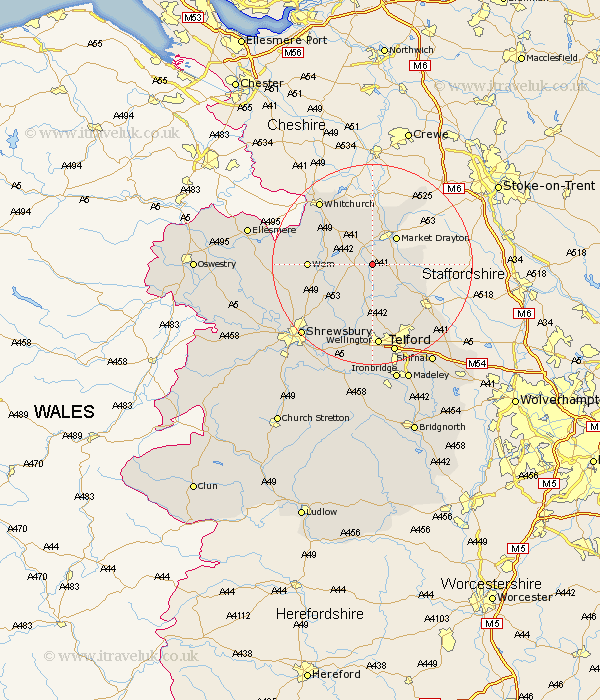
Shropshire Map Showing Location of Stoke Upon Tern
Population: 1740
District: North Shropshire
Easting: 364087 Northing: 328224
Latitude: 52.85 Longitude: -2.53
 = Stoke Upon Tern
District: North Shropshire
Easting: 364087 Northing: 328224
Latitude: 52.85 Longitude: -2.53
= Stoke Upon Tern
This Stoke Upon Tern map below is supplied by Google. Use the tools in the top left corner to zoom into street level or zoom out for a road map, you may also need to zoom in to see Stoke Upon Tern on the map. Click and drag the map to move around. If the map fails to load try and refresh your browser or zoom in or out (+ or -).
Update - it seems Google no longer allow people to use their maps for free! This Stoke Upon Tern map sometimes loads and sometimes gives a error. I am working on a solution.
Closest 30 Towns or Cities to Stoke Upon Tern (Population over 500)
Stoke upon Tern 0km Stoke 0km Hodnet 3.36km Hinstock 5.9km Market Drayton 7.14km Cheswardine 8.05km Stanton 8.67km Stanton upon Hine Heath 8.67km Cherrington 9.53km Precs 9.69km Prees 9.69km Shawbury 10.79km Chetwynd 11.63km Ercall Magna 11.99km High Ercall 11.99km Edgmond 12.14km Wem 12.31km Norton in Hales 12.45km Newport 12.51km Broughton 13.5km Whixall 13.5km Rodington 14.13km Hadnall 15.42km Trench 15.48km Lilleshall 15.77km Donnington 16.28km Downington 16.28km Whitchurch 16.42km Wellington 16.72km Wrockwardine 16.83km