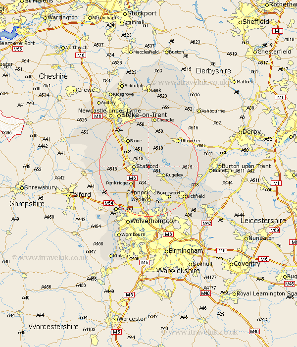
Staffordshire Map Showing Location of Shugborough
District: Stafford
Easting: 398876 Northing: 322530
Latitude: 52.8 Longitude: -2.02
 = Shugborough
Easting: 398876 Northing: 322530
Latitude: 52.8 Longitude: -2.02
= Shugborough
This Shugborough map below is supplied by Google. Use the tools in the top left corner to zoom into street level or zoom out for a road map, you may also need to zoom in to see Shugborough on the map. Click and drag the map to move around. If the map fails to load try and refresh your browser or zoom in or out (+ or -).
Update - it seems Google no longer allow people to use their maps for free! This Shugborough map sometimes loads and sometimes gives a error. I am working on a solution.
Closest 30 Towns or Cities to Shugborough (Population over 500)
Colwich 2.91km Weston 3.71km Weston upon Trent 3.71km Bednall 5km Stafford 5.6km Hopton 6.71km Rugeley 6.72km Colton 7.68km Abbots Bromley 9.15km Penkridge 10.01km Huntington 11.18km Hednesford 11.18km Seighford 11.36km Armitage 11.64km Haughton 12.47km Longdon 12.9km Cannock 12.98km Leigh 13.4km Church Leigh 13.4km Norton Canes 13.41km Stone 13.6km Hilderstone 13.73km Wyrley 14.53km Great Wyrley 14.53km Burntwood 15.17km Checkley 15.48km Shareshill 15.49km Church Eaton 15.6km Uttoxeter 15.78km Gnossall 15.8km