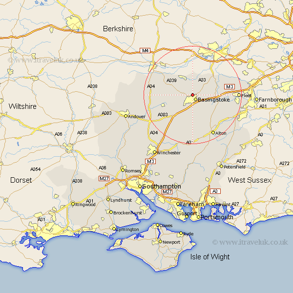
Hampshire Map Showing Location of Sherborne St John
District: Basingstoke and Deane
Easting: 462760 Northing: 154236
Latitude: 51.28 Longitude: -1.1
 = Sherborne St John
Easting: 462760 Northing: 154236
Latitude: 51.28 Longitude: -1.1
= Sherborne St John
This Sherborne St John map below is supplied by Google. Use the tools in the top left corner to zoom into street level or zoom out for a road map, you may also need to zoom in to see Sherborne St John on the map. Click and drag the map to move around. If the map fails to load try and refresh your browser or zoom in or out (+ or -).
Update - it seems Google no longer allow people to use their maps for free! This Sherborne St John map sometimes loads and sometimes gives a error. I am working on a solution.
Closest 30 Towns or Cities to Sherborne St John (Population over 500)
Basingstoke 2.18km Bramley 4.38km Basing 4.99km Sherfield 6.08km Sherfield upon Loddon 6.08km Oakley 6.88km Baughurst 7.24km Silchester 7.77km Tadley 7.77km Rotherwick 9.27km Dummer 9.89km Upton Grey 10.16km Hook 10.6km North Waltham 10.93km Kingsclere 11.07km Overton 11.83km Odiham 12.17km Ecchinswell 12.85km Long Sutton 13.76km Hartley Wintney 15.18km Winchfield 15.18km Burghclere 15.51km Highclere 17.15km Whitchurch 17.85km Froyle 18.2km Fleet 18.55km Alton 18.55km Medstead 18.67km Four Marks 18.85km Crondall 18.91km