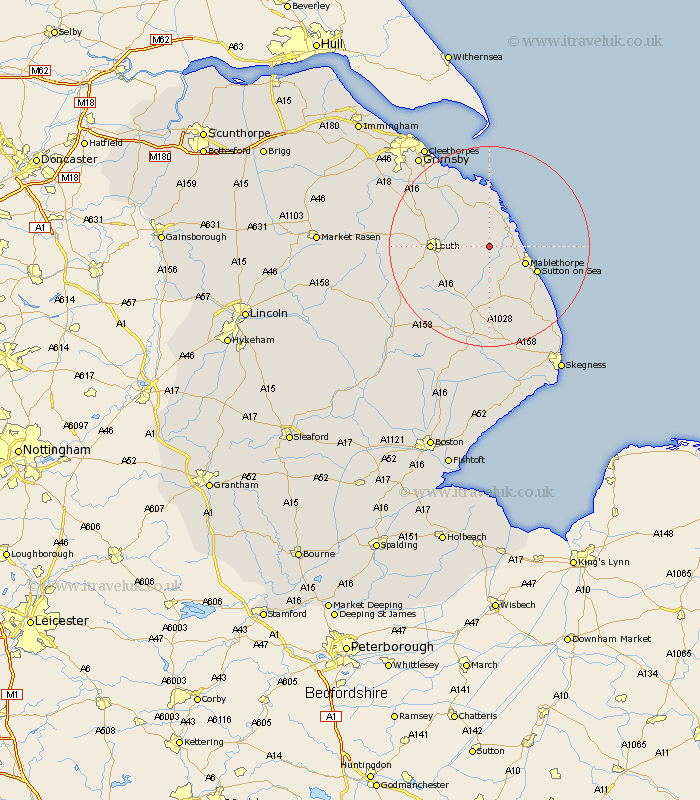
Lincolnshire Map Showing Location of Saltfleetby Saint Peter
District: East Lindsey
Easting: 543038 Northing: 387720
Latitude: 53.37 Longitude: 0.15
 = Saltfleetby Saint Peter
Easting: 543038 Northing: 387720
Latitude: 53.37 Longitude: 0.15
= Saltfleetby Saint Peter
This Saltfleetby Saint Peter map below is supplied by Google. Use the tools in the top left corner to zoom into street level or zoom out for a road map, you may also need to zoom in to see Saltfleetby Saint Peter on the map. Click and drag the map to move around. If the map fails to load try and refresh your browser or zoom in or out (+ or -).
Update - it seems Google no longer allow people to use their maps for free! This Saltfleetby Saint Peter map sometimes loads and sometimes gives a error. I am working on a solution.
Closest 30 Towns or Cities to Saltfleetby Saint Peter (Population over 500)
Manby 3.32km Saltfleetby 4.31km Saltfleetby St Clement 4.31km Saltfleetby Saint Clement 4.31km Saltfleetby St. Clement 4.31km Grimoldby 4.42km Saltfleet 5.98km North Somercotes 7.41km Mablethorpe 7.61km Legbourne 7.61km Sutton on Sea 10.45km Sutton-on-Sea 10.45km Louth 11.06km Grainthorpe 11.97km Alford 13.16km North Coates 13.54km Fulstow 14.42km Huttoft 15.11km Willoughby 17.01km Tetney 17.03km North Thoresby 17.3km Chapel Saint Leonards 20.02km Chapel St Leonards 20.02km Chapel St. Leonards 20.02km Spilsby 20.66km Holton le Clay 22km Humberston 22.15km Humberstone 22.15km Great Grimsby 22.77km Grimsby 22.77km