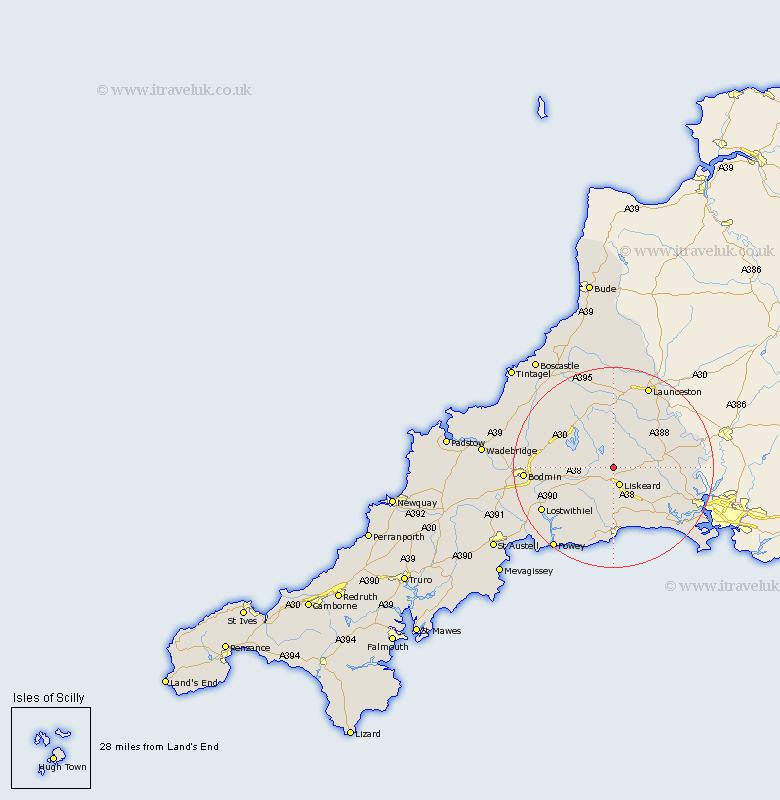
Cornwall Map Showing Location of St. Cleer
District: Caradon
Easting: 225026 Northing: 67804
Latitude: 50.48 Longitude: -4.47
 = St. Cleer
Easting: 225026 Northing: 67804
Latitude: 50.48 Longitude: -4.47
= St. Cleer
This St. Cleer map below is supplied by Google. Use the tools in the top left corner to zoom into street level or zoom out for a road map, you may also need to zoom in to see St. Cleer on the map. Click and drag the map to move around. If the map fails to load try and refresh your browser or zoom in or out (+ or -).
Update - it seems Google no longer allow people to use their maps for free! This St. Cleer map sometimes loads and sometimes gives a error. I am working on a solution.
Closest 30 Towns or Cities to St. Cleer (Population over 500)
Liskeard 3.89km Dobwalls 5.12km Menheniot 6.59km North Hill 7.78km Linkinhorne 9km Morval 11.18km Duloe 11.18km Callington 11.94km Cardinham 12.97km Cardingham 12.97km Lanreath 13.18km Lewannick 13.19km Pelynt 13.8km Altarnun 13.81km Lezant 13.84km West Looe 14.18km Looe 14.18km Lansallos 14.77km Blisland 15.77km South Petherwin 15.96km Lostwithiel 16.92km Bodmin 17.79km Launceston 18.11km Sheviock 18.35km Sherviock 18.35km Bere Alston 18.87km Calstock 18.87km Saltash 19.19km Lanteglos 19.78km St. Blazey 19.98km