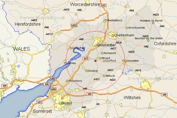
Gloucestershire Map Showing Location of Ryeford
District: Stroud
Easting: 382737 Northing: 203923
Latitude: 51.73 Longitude: -2.25
 = Ryeford
Easting: 382737 Northing: 203923
Latitude: 51.73 Longitude: -2.25
= Ryeford
This Ryeford map below is supplied by Google. Use the tools in the top left corner to zoom into street level or zoom out for a road map, you may also need to zoom in to see Ryeford on the map. Click and drag the map to move around. If the map fails to load try and refresh your browser or zoom in or out (+ or -).
Update - it seems Google no longer allow people to use their maps for free! This Ryeford map sometimes loads and sometimes gives a error. I am working on a solution.
Closest 30 Towns or Cities to Ryeford (Population over 500)
Woodchester 2.17km Stonehouse 2.95km Randwick 3.71km Stroud 3.91km Horsley 5.68km Chalford 5.74km Coaley 6.03km Nailsworth 6.54km Minchinhampton 6.83km Painswick 7.21km Uley 7.21km Cam 7.82km Avening 7.99km Frampton-on-Severn 8.85km Frampton 8.85km Frampton on Severn 8.85km Slimbridge 9.37km Dursley 9.37km Quedgeley 9.55km Hardwicke 9.89km Gloucester 11.12km North Nibley 11.8km Tetbury 12.52km Wotton-under-Edge 13.08km Wotton under Edge 13.08km Awre 13.16km Hucclecote 13.76km Brockworth 14.19km Newham 14.63km Newnham 14.63km