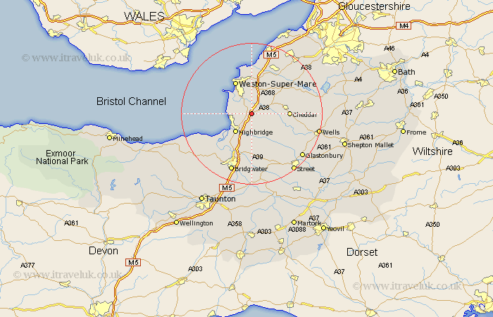
Somerset Map Showing Location of Rooks Bridge
District: Sedgemoor
Easting: 336053 Northing: 152405
Latitude: 51.27 Longitude: -2.92
 = Rooks Bridge
Easting: 336053 Northing: 152405
Latitude: 51.27 Longitude: -2.92
= Rooks Bridge
This Rooks Bridge map below is supplied by Google. Use the tools in the top left corner to zoom into street level or zoom out for a road map, you may also need to zoom in to see Rooks Bridge on the map. Click and drag the map to move around. If the map fails to load try and refresh your browser or zoom in or out (+ or -).
Update - it seems Google no longer allow people to use their maps for free! This Rooks Bridge map sometimes loads and sometimes gives a error. I am working on a solution.
Closest 30 Towns or Cities to Rooks Bridge (Population over 500)
Lympsham 2.96km Brent Knoll 3.94km Bleadon 4.37km Hutton 5.68km Mark 5.68km Weare 5.8km Banwell 6.56km Burnham on Sea 6.89km Burnham-on-Sea 6.89km Burnham 6.89km Berrow 6.96km Brean 7.2km Highbridge 7.24km Locking 7.76km Axbridge 8.32km Huntspill 8.75km Wedmore 8.91km Shipham 8.92km Sandford 9.4km Weston-Super-Mare 10.36km Cheddar 10.44km Priddy 10.6km Pawlett 10.94km Churchill 10.98km Puriton 11.65km Rodney Stoke 12.89km Wick St Lawrence 12.96km Wick Saint Lawrence 12.96km Wick St. Lawrence 12.96km Cossington 12.98km