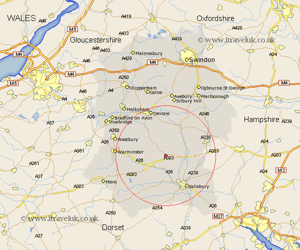
Wiltshire Map Showing Location of Rollstone
District: Salisbury
Easting: 406988 Northing: 142737
Latitude: 51.18 Longitude: -1.9
 = Rollstone
Easting: 406988 Northing: 142737
Latitude: 51.18 Longitude: -1.9
= Rollstone
This Rollstone map below is supplied by Google. Use the tools in the top left corner to zoom into street level or zoom out for a road map, you may also need to zoom in to see Rollstone on the map. Click and drag the map to move around. If the map fails to load try and refresh your browser or zoom in or out (+ or -).
Update - it seems Google no longer allow people to use their maps for free! This Rollstone map sometimes loads and sometimes gives a error. I am working on a solution.
Closest 30 Towns or Cities to Rollstone (Population over 500)
Lark Hill 5.81km Longford 6.03km Steeple Langford 6.03km Amesbury 8.34km Figheldean 8.94km Durrington 9.29km Bulford 9.48km South Newton 9.55km Netheravon 9.85km West Lavington 10.17km Enford 10.17km Codford 11.09km Wilton 11.36km Market Lavington 12.54km Lavington 12.54km Upavon 12.54km Dinton 12.55km Urchfont 13.18km Idmiston 13.94km Winterbourne Dauntsey 13.97km Winterbourne 13.97km Heytesbury 15.1km Salisbury 15.31km New Sarum 15.31km Erlestoke 16.07km Fovant 16.38km Edington 16.73km Potterne 16.91km Combebissett 17.04km Coombe Bissett 17.04km