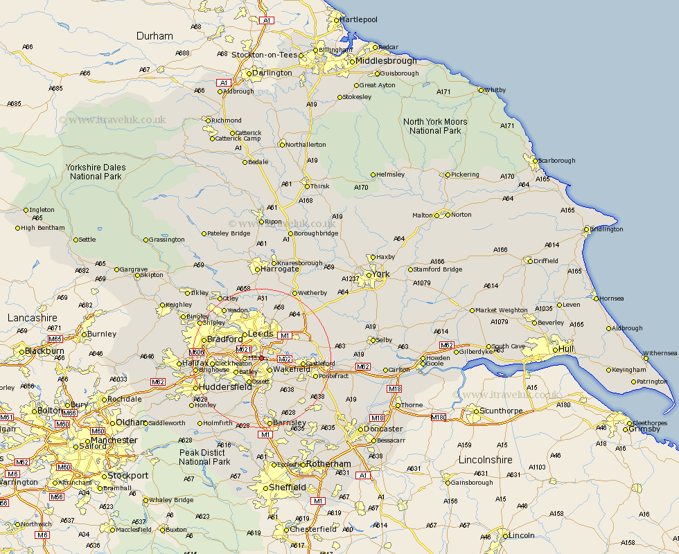
Yorkshire Map Showing Location of Robin Hood
District: Leeds
Easting: 431881 Northing: 426456
Latitude: 53.73 Longitude: -1.52
 = Robin Hood
Easting: 431881 Northing: 426456
Latitude: 53.73 Longitude: -1.52
= Robin Hood
This Robin Hood map below is supplied by Google. Use the tools in the top left corner to zoom into street level or zoom out for a road map, you may also need to zoom in to see Robin Hood on the map. Click and drag the map to move around. If the map fails to load try and refresh your browser or zoom in or out (+ or -).
Update - it seems Google no longer allow people to use their maps for free! This Robin Hood map sometimes loads and sometimes gives a error. I am working on a solution.
Closest 30 Towns or Cities to Robin Hood (Population over 500)
Lofthouse 1.1km Rothwell 2.87km Stanley 4.3km Wakefield 4.3km Morley 4.38km Normanton 7.55km Swillington 7.55km Dewsbury 7.55km Drewsbury 7.55km Horbury 7.72km Ossett 8.1km Batley 8.18km Leeds 8.61km Garforth 10.38km Kippax 10.54km Featherstone 10.54km Heckmondwike 10.54km Middletown 10.77km Middlestown 10.77km Castleford 11.12km Crigglestone 11.17km Pudsey 11.32km Crofton 11.36km Scholes 11.37km Liversedge 12.62km Mirfield 13.24km Cleckheaton 13.29km Bretton 13.38km West Bretton 13.38km Horsforth 13.5km