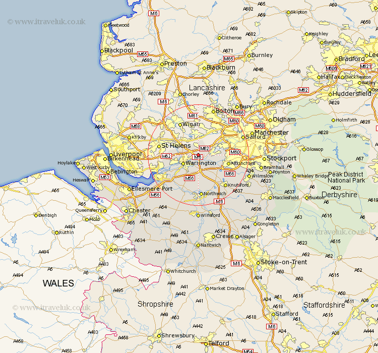
Cheshire Map Showing Location of Risley
Population: 12729
Area Size (ha): 412
Easting: 365664 Northing: 391252
Latitude: 53.42 Longitude: -2.52
 = Risley
Area Size (ha): 412
Easting: 365664 Northing: 391252
Latitude: 53.42 Longitude: -2.52
= Risley
This Risley map below is supplied by Google. Use the tools in the top left corner to zoom into street level or zoom out for a road map, you may also need to zoom in to see Risley on the map. Click and drag the map to move around. If the map fails to load try and refresh your browser or zoom in or out (+ or -).
Update - it seems Google no longer allow people to use their maps for free! This Risley map sometimes loads and sometimes gives a error. I am working on a solution.
Closest 30 Towns or Cities to Risley (Population over 500)
Croft 2.88km Stockton Heath 3.27km Culcheth 3.7km Thelwall 3.71km Glazebrook 3.79km Winwick 5.82km Partington 6.63km Warrington 6.66km Great Sankey 7.6km Sankey 7.6km Appleton 7.74km Lymm 7.84km High Legh 8.63km Stretton 9.85km Burtonwood 10.11km Bowdon 11.39km Mere 11.4km Altrincham 11.66km Preston-on-the-Hill 14.21km Preston on the Hill 14.21km Preston Brook 14.21km Sale 14.36km Widnes 16.17km Knutsford 16.35km Halton 16.48km Anderton 16.72km Northwick 16.72km Northwich 16.72km Marston 16.72km Lostock Gralam 17.01km